Getting here
51.52086, -0.87894
Visiting this summer
Seasonal nature notes and what to look for now
Visiting this summer
Seasonal nature notes and what to look for now
- 🌞Midsummer — early morning visits most comfortable; look for deer fawns in quieter clearings
- 🐕Early mornings are best for dog walks in summer — visit before 9am to avoid the heat and find quieter trails
- 📍Open access throughout summer — no booking required
🌤️ Visiting this summer
- 🌞Midsummer — early morning visits most comfortable; look for deer fawns in quieter clearings
- 🐕Early mornings are best for dog walks in summer — visit before 9am to avoid the heat and find quieter trails
- 📍Open access throughout summer — no booking required
Good to know
- £Free to visit — no entry charge
- 🐕Dogs welcome
Best for
Wildlife
Very strong match
Multi-group wildlife — Amphibians, Birds, Mammals; Multi-group wildlife — Amphibians, Birds, Mammals
Bird watching
Very strong match
Birds — Robin, Green Woodpecker, Blackbird +62 more · last seen 2026; Birds — Robin, Green Woodpecker, Blackbird +62 more · last seen 2026
Dog walks
Strong match
Dogs allowed — public woodland
Insect spotting
Strong match
Insects — Meadow Brown, Large White, Speckled Wood +37 more · last seen 2026; Insects — Meadow Brown, Large White, Speckled Wood +37 more · last seen 2026
Hiking
Good match
Named hiking route nearby: European walking route E2 west, UK, South East England
Foraging
Good match
Deciduous woodland — fungi, berries and wild garlic
Trails nearby
Within roughly 5 km🚶Walking
10 signed routes nearby · 9 public paths nearby
Signed route nearbyPublic paths
Walking
Oxfordshire WayWalking route110 km
a traverse of Oxfordshire from the Cotswolds to the Chilterns
The Chiltern Way Southern ExtensionWalking route
Long distance path
The Chiltern Way Berkshire LoopWalking route28 km
Long distance path
European walking route E2 west, UK, South East EnglandWalking route
Westroute: Stranraer (UK) - Birminhgham (UK) - Calais (FR) - Zoersel (BE) / Eastroute: Stranraer (UK) - Harwich (UK) - Rotterdam (NL) - Zoersel (BE) / Both Routes: Zoersel (BE) - Maastrich (NL) - Luxembourg (LUX) - Lake Geneva (CH) - Nice (FR)
The Wokingham WayWalking route
Bolney Roadpublic footpath · 222 m
23public footpath · 1.4 km
Bolney Roadpublic footpath · 361 m
🚴Cycling
24 signed routes nearby
Signed route nearby
Cycling
Round Berkshire Cycle RouteCycling route
Reading R4Cycling route
EuroVelo 2 - Capitals Route - part United Kingdom 5Cycling route
Chilterns CyclewayCycling route
Route 4Cycling route
Round Berkshire Cycle RouteCycling route
🐴Horse riding
1 public path nearby
Public paths
Horse riding
Bolney Lanebyway open to all traffic · 214 m
Wildlife to spot
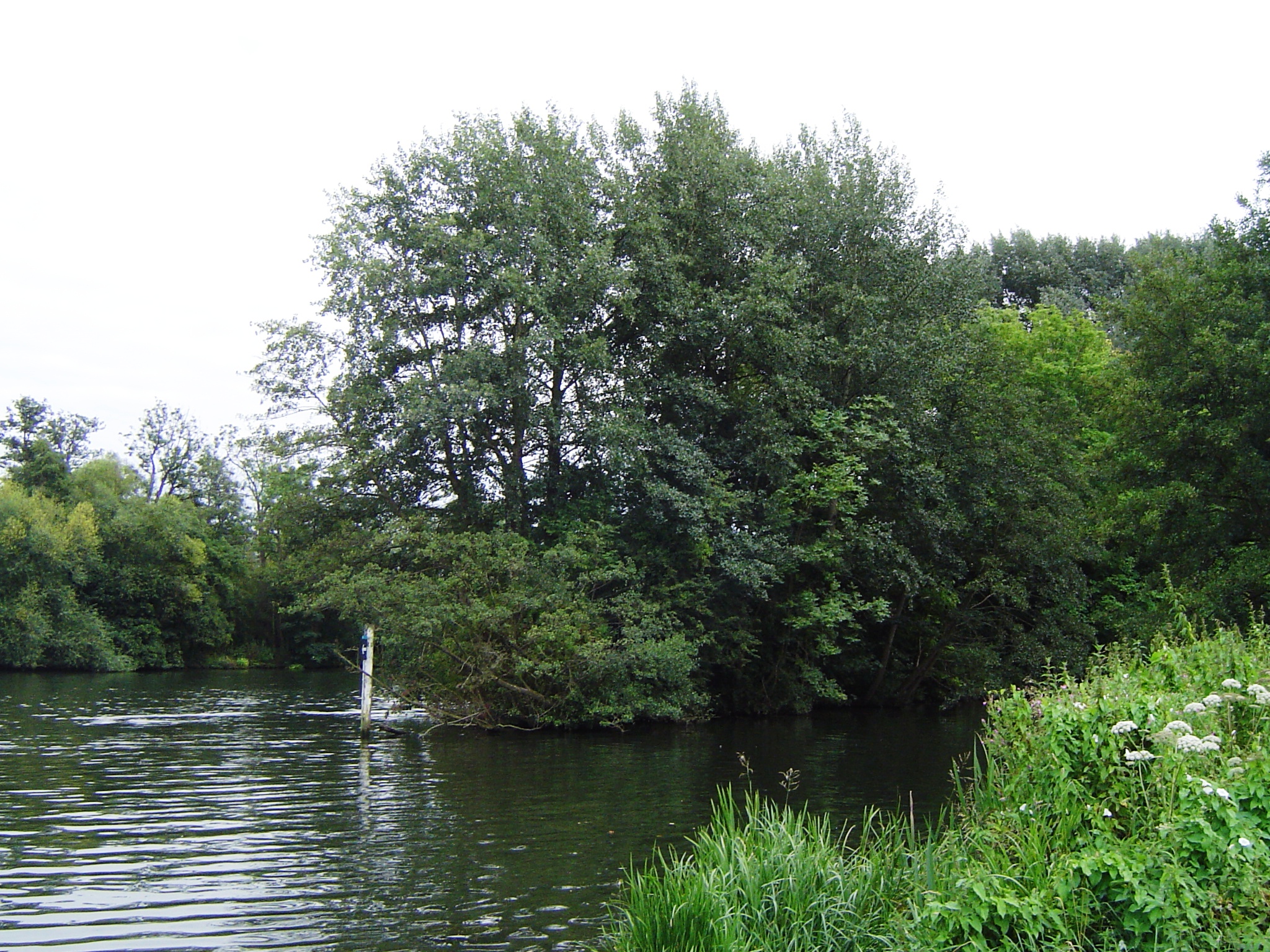
Photos
Weather for this location
Loading local forecast…
Nearby places
Useful places within 5 km
Own or manage this place?
Claim this listing to keep details accurate, add photos, and highlight what makes it special — free.
Claim this pageHow was your visit?
How useful was the information on this page?
id: a900766f-9a04-4067-b067-cbed57d8939b