Getting here
53.15468, -1.70008
Visiting this summer
Seasonal nature notes and what to look for now
Visiting this summer
Seasonal nature notes and what to look for now
- 🐦74+ species recorded in this area — summer evenings are best for activity; watch for Robin and Wren
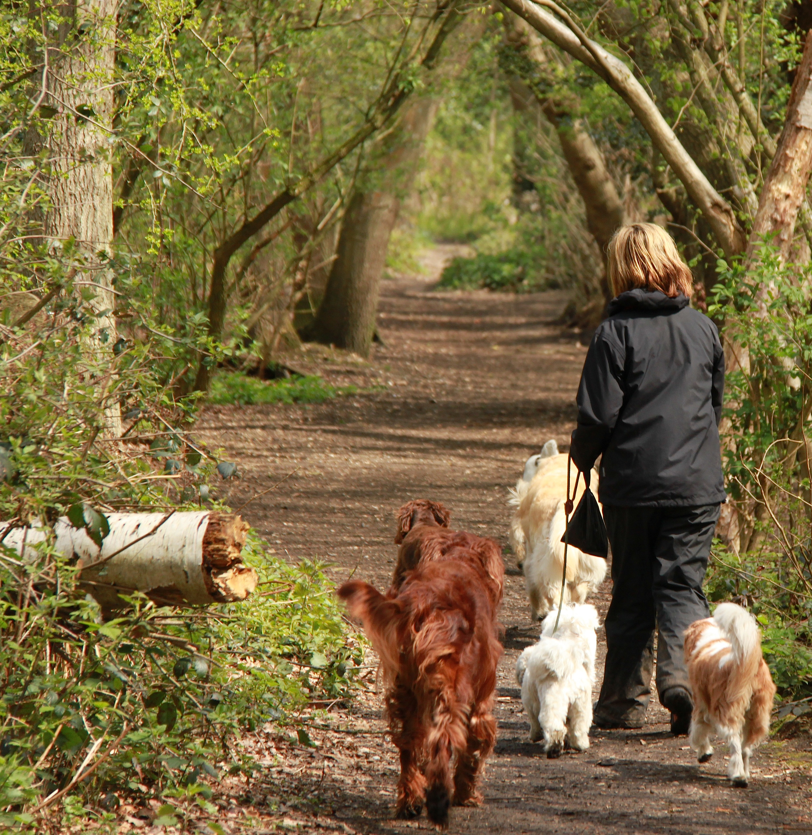
- 🐕Early mornings are best for dog walks in summer — visit before 9am to avoid the heat and find quieter trails
- 📍Open access throughout summer — no booking required
🌤️ Visiting this summer
- 🐦74+ species recorded in this area — summer evenings are best for activity; watch for Robin and Wren
- 🐕Early mornings are best for dog walks in summer — visit before 9am to avoid the heat and find quieter trails
- 📍Open access throughout summer — no booking required
Good to know
- £Free to visit — no entry charge
- 🐕Dogs welcome
- 🌿Ancient woodland — rare wildlife habitat
Best for
Bird watching
Very strong match
Birds — Robin, Wren, Blue Tit +71 more · last seen 2026; Birds — Robin, Wren, Blue Tit +71 more · last seen 2026
Wildlife
Very strong match
Multi-group wildlife — Birds, Mammals; Multi-group wildlife — Birds, Mammals
Seasonal nature
Strong match
Plants — Hedge Woundwort, Hart's-Tongue, Wall Lettuce +45 more · last seen 2025; Plants — Hedge Woundwort, Hart's-Tongue, Wall Lettuce +45 more · last seen 2025
Dog walks
Strong match
Dogs allowed — public woodland
Foraging
Strong match
Plants — Hogweed, Dropwort, Sweet Chestnut +7 more foraging species; Deciduous woodland — fungi, berries and wild garlic
Insect spotting
Good match
Insects — Scathophaga stercoraria, 7-spot Ladybird, Common Green Grasshopper +6 more · last seen 2025; Insects — Scathophaga stercoraria, 7-spot Ladybird, Common Green Grasshopper +6 more · last seen 2025
Trails nearby
Within roughly 5 km🚶Walking
6 signed routes nearby · 10 public paths nearby
Signed route nearbyPublic paths
Walking
Midshires WayWalking route370 km
Multi-use trail links the Ridgeway National Trail with the Trans Pennine Trail
Limestone WayWalking route74 km
Castleton to Rocester
High Peak TrailWalking route27 km
Peak District Boundary Walk Stage 13Walking route16 km
Roystone Grange TrailWalking route
🚴Cycling
20 signed routes nearby
Signed route nearby
Cycling
Route 54Cycling route
Route 548Cycling route
Pennine CyclewayCycling route
Main RouteCycling route9 m
Main RouteCycling route547 m
Main RouteCycling route401 m
🚵Mountain biking
3 signed routes nearby
Signed route nearby
Mountain biking
Tissington TrailMountain bike route
High Peak TrailMountain bike route27 km
Great North Trail (Peak District and South Pennines)Mountain bike route130.4 km
🐴Horse riding
1 public path nearby
Public paths
Horse riding
No named routes yet. Public paths are shown on the map.
Wildlife to spot
Photos
Weather for this location
Loading local forecast…
Nearby places
Useful places within 5 km
Own or manage this place?
Claim this listing to keep details accurate, add photos, and highlight what makes it special — free.
Claim this pageHow was your visit?
How useful was the information on this page?
id: 684cea8b-7d3d-4b17-a21b-b4b3bb673329