Plan your visit
Getting here
51.02159, -0.98749
Visiting this summer
Seasonal nature notes and what to look for now
Visiting this summer
Seasonal nature notes and what to look for now
- 🌞Midsummer — early morning visits most comfortable; look for deer fawns in quieter clearings
- 🐕Early mornings are best for dog walks in summer — visit before 9am to avoid the heat and find quieter trails
- 📍Open access throughout summer — no booking required
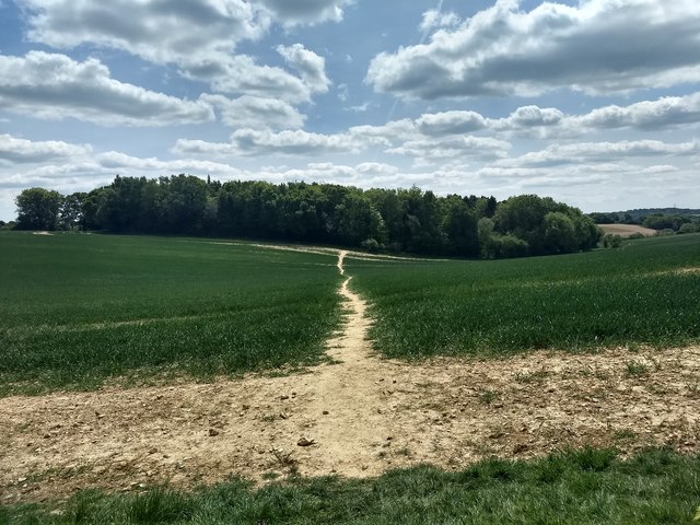
🌤️ Visiting this summer
- 🌞Midsummer — early morning visits most comfortable; look for deer fawns in quieter clearings
- 🐕Early mornings are best for dog walks in summer — visit before 9am to avoid the heat and find quieter trails
- 📍Open access throughout summer — no booking required
Good to know
- £Free to visit — no entry charge
- 🐕Dogs welcome
- 🌿Ancient woodland — rare wildlife habitat
Best for
Wildlife
Strong match
Deciduous woodland priority habitat; Ancient woodland
Dog walks
Strong match
Dogs allowed — public woodland
Seasonal nature
Strong match
Ancient woodland — bluebells, fungi and autumn colour
Bird watching
Strong match
Deciduous woodland — woodpeckers, warblers and woodland birds
Foraging
Good match
Deciduous woodland — fungi, berries and wild garlic
Heritage
Good match
Ancient woodland — historic landscape
Trails nearby
Within roughly 5 km🚶Walking
5 signed routes nearby · 9 public paths nearby
Signed route nearbyPublic paths
Walking
Monarch's WayWalking route990 km
approximate route of Charles II's escape
South Downs WayWalking route160 km
Hangers WayWalking route
The Shipwrights WayWalking route
A long distance route which links villages and towns in east Hampshire. The name reflects the use of oak grown at Alice Holt Forest for Tudor shipbuilding.
The Serpent TrailWalking route
🚴Cycling
45 signed routes nearby
Signed route nearby
Cycling
Route 222Cycling route
National Cycle Route 228 Pulborough to Petersfield (proposed)Cycling route
Route 22Cycling route
Discover the Hampshire South Downs by BikeCycling route
Petersfield - QECP/SDWCycling route
Main RouteCycling route148 m
🚵Mountain biking
5 signed routes nearby
Signed route nearby
Mountain biking
South Downs WayMountain bike route
Petersfield Off Road Cycle TrailMountain bike route
King Alfred's WayMountain bike route
King Alfreds Way is 350km (220 miles) off road route designed to be ridden clockwise. It starts & ends in Winchester. It is suitable for gravel or cross-country bikes.
East Meon Off Road Cycle TrailMountain bike route16 km
Shipwright's WayMountain bike route
🐴Horse riding
3 public paths nearby
Public paths
Horse riding
Ridge Top Lanebyway open to all traffic · 932 m
Wildlife to spot
Photos
Weather for this location
Loading local forecast…
Nearby places
Useful places within 5 km
Own or manage this place?
Claim this listing to keep details accurate, add photos, and highlight what makes it special — free.
Claim this pageHow was your visit?
How useful was the information on this page?
id: fe0a0286-8aa6-4b94-abac-ee102c637fa3