Plan your visit
Getting here
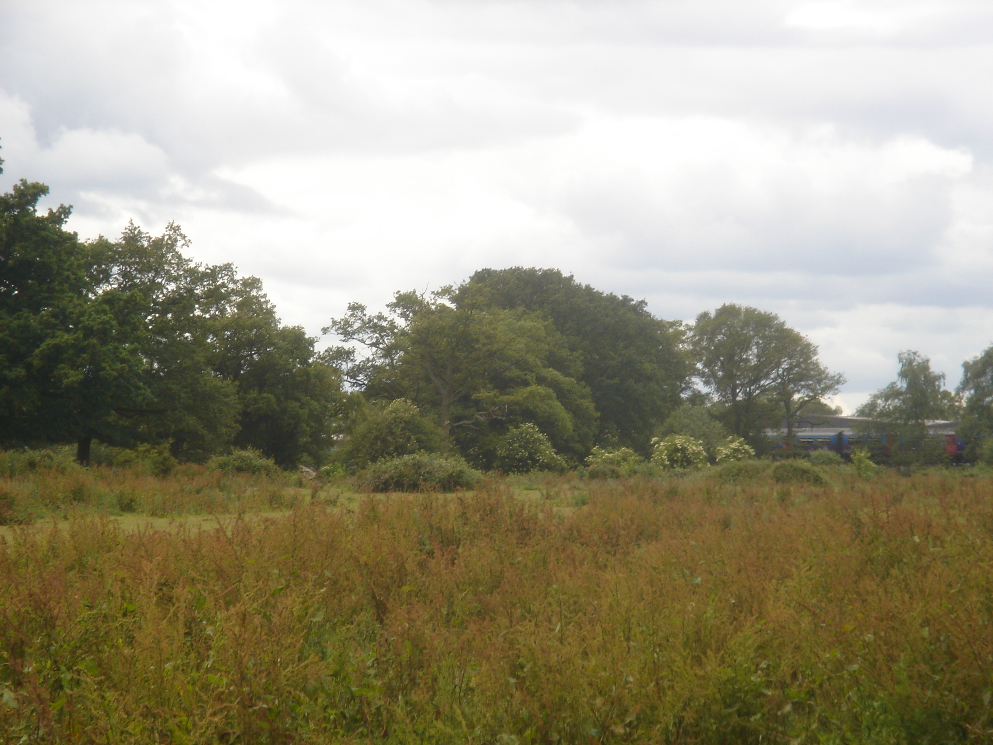
52.61296, -1.86829
Visiting this summer
Seasonal nature notes and what to look for now
Visiting this summer
Seasonal nature notes and what to look for now
- 🐦67+ species recorded in this area — summer evenings are best for activity; watch for Coot and Tufted Duck
- 🌿Foraging is at its best in summer here
- 🐕Dogs welcome — bring water in summer; the site has enough space to find shade on hot days
🌤️ Visiting this summer
- 🐦67+ species recorded in this area — summer evenings are best for activity; watch for Coot and Tufted Duck
- 🌿Foraging is at its best in summer here
- 🐕Dogs welcome — bring water in summer; the site has enough space to find shade on hot days
Good to know
- £Free to visit — no entry charge
- 🐕Dogs welcome
Best for
Bird watching
Very strong match
Birds — Coot, Tufted Duck, Woodpigeon +64 more · last seen 2026; Birds — Coot, Tufted Duck, Woodpigeon +64 more · last seen 2026
Wildlife
Very strong match
Multi-group wildlife — Birds, Mammals; Multi-group wildlife — Birds, Mammals
Insect spotting
Strong match
Insects — Volucella inanis, Marmalade Hoverfly, Eristalis pertinax +49 more · last seen 2026; Insects — Volucella inanis, Marmalade Hoverfly, Eristalis pertinax +49 more · last seen 2026
Foraging
Good match
Deciduous woodland — fungi, berries and wild garlic
Forest walks
Moderate match
Public woodland
Trails nearby
Within roughly 5 km🚶Walking
9 signed routes nearby
Signed route nearby
Walking
Sutton Park Archeology Walk 5: Blackroot BistroWalking route
Most of Sutton Park is a Scheduled Ancient Monument and contains archaeological remains. This trail, one of six in the park, is via an 18th-century racecourse and golf course, medieval deer park, and quarry created for an 18th-century mill pond dam.
Sutton Park Archeology Walk 6: Bracebridge PoolWalking route
Most of Sutton Park is a Scheduled Ancient Monument and contains archaeological remains. This trail, one of six in the park, is via a medieval fish pond, 16th-century wood, WWI military practice trenches, mysterious earthwork, and 19th-century estate.
Clayhanger Common WalkWalking route9.5 km
Short, circular route following the Wyrley & Essington Canal to Clayhanger Common – one of Walsall’s much-loved areas of green, open space. Distance: 6 miles/9.5 km(approx) Duration: 120 mins(approx)
Beacon WayWalking route40 km
Starting at Sandwell Valley via the outskirts of Birmingham and the countryside of Walsall into Staffordshire. Take in the Forest of Mercia, lakes, nature reserves, woods, and canal banks. Named after Barr Beacon, one of the highest hills in this area.
Sutton Park Archeology Walk 2: Town GateWalking route
Most of Sutton Park is a Scheduled Ancient Monument and contains archaeological remains. This trail, one of six in the park, is via a medieval pond, medieval deer park, 16th-century wood, and 18th-century Mill Pond.
🚴Cycling
12 signed routes nearby
Signed route nearby
Cycling
National Cycle Network Route 5Cycling route
National Cycle Network Route 534Cycling route
McClean WayCycling route
Cannock Extension Canal to Longwood JunctionCycling route11.2 km
Canalside route leading past Clayhanger Common and through Rushall, with a pub along the way. Distance: 7 miles/11.2 km (approx) Duration: 60 min (approx)
Main RouteCycling route696 m
Main RouteCycling route101 m
Wildlife to spot
Photos
Weather for this location
Loading local forecast…
Nearby places
Useful places within 5 km
Own or manage this place?
Claim this listing to keep details accurate, add photos, and highlight what makes it special — free.
Claim this pageHow was your visit?
How useful was the information on this page?
id: 1e19bbb4-00d6-4df4-9594-076cb9fc457b