Birds — Woodpigeon, Magpie, Moorhen +71 more · last seen 2025; Birds — Woodpigeon, Magpie, Moorhen +71 more · last seen 2025
Free
🍂
Seasonal nature
Strong match
Ancient woodland — bluebells, fungi and autumn colour; Plants — Himalayan Balsam, Bluebell, Wall Screw-moss · last seen 2023
Free
🐶
Dog walks
Strong match
Dogs allowed — public woodland
Free
🦋
Insect spotting
Strong match
Insects — Stag Beetle, Small White, Box Tree Moth +43 more · last seen 2025; Insects — Stag Beetle, Small White, Box Tree Moth +43 more · last seen 2025
Free
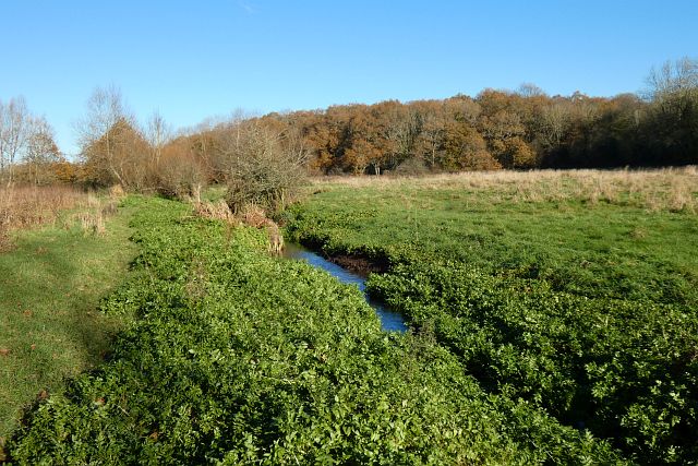
〰
Waterside walks
Good match
Grazing marsh and ditches — waterside walking
Varies
Trails nearby
Within roughly 5 km
🚶
Walking
▾
6 signed routes nearby · 9 public paths nearby
Signed route nearbyPublic paths
St Swithun's WayWalking route▾
Named routeRegional walking route
Three Castles PathWalking route▾
Named routeRegional walking route
Fleet Pond Yellow RouteWalking route▾
Named routeRef yellowLocal walking route
Basingstoke CanalWalking route▾
Named routeRegional walking route
Fleet Pond Red RouteWalking route▾
Named routeRef redLocal walking route
Water Lanepublic footpath · 663 m▾
Public pathpublic footpathLength 663 mSurface groundPath type: footway
🚴
Cycling
▾
15 signed routes nearby
Signed route nearby
Odiham circular (Cycling Discoveries in and Around North Hampshire)Cycling route▾
Named routeRef 2: Odiham circularRegional cycle route
Hitches Lane to Fleet Town Centre pedestrian and cycle routeCycling route▾
Named routeLocal cycle route
Farnborough Pyestock GateCycling route▾
Named routeLocal cycle route
Scholars GreenwayCycling route▾
Named routeLocal cycle route
Weyside GreenwayCycling route▾
Final NCN 22 route through the centre of Farnham
Named routeRef 22 (Proposed)National Cycle Network
Route 22Cycling route▾
Named routeRef 22National Cycle Network
🚵
Mountain biking
▾
3 signed routes nearby
Signed route nearby
Basingstoke Canal TowpathMountain bike route▾
Named route
King Alfred's WayMountain bike route▾
King Alfreds Way is 350km (220 miles) off road route designed to be ridden clockwise. It starts & ends in Winchester. It is suitable for gravel or cross-country bikes.
Named routeRegional cycle route
Fleet Pond Blue TrackMountain bike route▾
Named route
🐴
Horse riding
▾
16 public paths nearby
Public paths
Poulter's Bridgebyway open to all traffic · 27 m▾
Public pathbyway open to all trafficLength 27 mSurface asphaltPath type: service
Watery Lanebridleway · 84 m▾
Public pathbridlewayLength 84 mSurface asphaltPath type: residential
Bowenhurst Lanebyway open to all traffic · 148 m▾
Public pathbyway open to all trafficLength 148 mSurface unpavedPath type: unclassified
Zephon Common Lanebyway open to all traffic · 6 m▾
Public pathbyway open to all trafficLength 6 mSurface asphaltPath type: unclassified
Watery Lanebridleway · 28 m▾
Public pathbridlewayLength 28 mSurface asphaltPath type: residential