Getting here
53.75259, -2.00932
Visiting this summer
Seasonal nature notes and what to look for now
Visiting this summer
Seasonal nature notes and what to look for now
- 🌞Midsummer — early morning visits most comfortable; look for deer fawns in quieter clearings
- 🌿Foraging is at its best in summer here
- 🐕Dogs welcome — bring water in summer; the site has enough space to find shade on hot days
🌤️ Visiting this summer
- 🌞Midsummer — early morning visits most comfortable; look for deer fawns in quieter clearings
- 🌿Foraging is at its best in summer here
- 🐕Dogs welcome — bring water in summer; the site has enough space to find shade on hot days
Good to know
- £Free to visit — no entry charge
- 🐕Dogs welcome
- 🌿Ancient woodland — rare wildlife habitat
Best for
Wildlife
Very strong match
Multi-group wildlife — Amphibians, Birds, Mammals; Multi-group wildlife — Amphibians, Birds, Mammals
Bird watching
Very strong match
Birds — Jackdaw, Blackbird, Woodpigeon +64 more · last seen 2026; Birds — Jackdaw, Blackbird, Woodpigeon +64 more · last seen 2026
Foraging
Strong match
Plants — Bilberry, Wood-sorrel, Hogweed +12 more foraging species; Deciduous woodland — fungi, berries and wild garlic
Seasonal nature
Strong match
Ancient woodland — bluebells, fungi and autumn colour; Plants — Japanese Knotweed, Bifid Crestwort, Hart's-Tongue +137 more · last seen 2026
Insect spotting
Strong match
Insects — Meadow Brown, Ringlet, Common Carder Bee +55 more · last seen 2026; Insects — Meadow Brown, Ringlet, Common Carder Bee +55 more · last seen 2026
Dog walks
Strong match
Dogs allowed — public woodland
Trails nearby
Within roughly 5 km🚶Walking
20 signed routes nearby · 58 public paths nearby
Signed route nearbyPublic paths
Walking
Mary Towneley LoopWalking route
Forms part of Pennine Bridleway National Trail
Todmorden Centenary WayWalking route
Pennine Way (Warland Reservoir to Calder Valley)Walking route
Todmorden Centenary Way LinkWalking route
Crags Walk, Hardcastle CragsWalking route1.3 km
Slater Bank Lanepublic footpath · 21 m
Slater Bank Lanepublic footpath · 19 m
Slater Bank Lanepublic footpath · 74 m
🚴Cycling
67 signed routes nearby
Signed route nearby
Cycling
Pennine CyclewayCycling route
Route 66Cycling route
West Yorkshire Cycle RouteCycling route
Route 68Cycling route
Main RouteCycling route113 m
Main RouteCycling route45 m
🚵Mountain biking
3 signed routes nearby
Signed route nearby
Mountain biking
Calder Aire LinkMountain bike route
Great North Trail (Yorkshire Dales)Mountain bike route172.2 km
Great North Trail (Peak District and South Pennines)Mountain bike route130.4 km
🐴Horse riding
4 public paths nearby
Public paths
Horse riding
North Wellbridleway · 231 m
Midgehole Lanebridleway · 438 m
Wildlife to spot
Photos
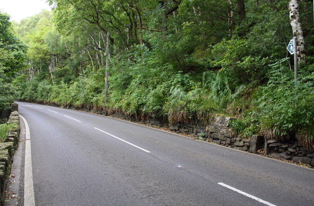
A6033 heading north at junction with footpath into Boston Hill Wood
Weather for this location
Loading local forecast…
Nearby places
Useful places within 5 km
Own or manage this place?
Claim this listing to keep details accurate, add photos, and highlight what makes it special — free.
Claim this pageHow was your visit?
How useful was the information on this page?
id: a750eb79-2fb3-4dbe-8612-c98ac32a5d47