Plan your visit
Getting here
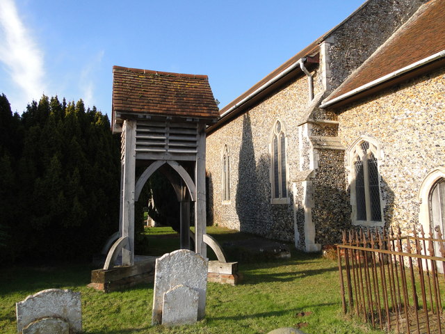
52.06792, 1.36518
Visiting this summer
Seasonal nature notes and what to look for now
Visiting this summer
Seasonal nature notes and what to look for now
- 🐦86+ species recorded in this area — summer evenings are best for activity; watch for Yellowhammer and Carrion Crow
- 🌿Foraging is at its best in summer here
- 🐕Dogs welcome — bring water in summer; the site has enough space to find shade on hot days
🌤️ Visiting this summer
- 🐦86+ species recorded in this area — summer evenings are best for activity; watch for Yellowhammer and Carrion Crow
- 🌿Foraging is at its best in summer here
- 🐕Dogs welcome — bring water in summer; the site has enough space to find shade on hot days
Good to know
- £Free to visit — no entry charge
- 🐕Dogs welcome
Best for
Bird watching
Very strong match
Birds — Yellowhammer, Carrion Crow, Woodpigeon +83 more · last seen 2025
Wildlife
Strong match
Birds — Yellowhammer, Carrion Crow, Woodpigeon +83 more · last seen 2025; Traditional orchard priority habitat
Insect spotting
Strong match
Insects — Common Darter, Minotaur Beetle, Spiked Shieldbug +20 more · last seen 2025; Traditional orchard — specialist orchard insects and lichens
Foraging
Strong match
Traditional orchard — seasonal fruit, fungi and wild plants
Seasonal nature
Strong match
Plants — Yorkshire-fog, Cotton Thistle, Groundsel +151 more · last seen 2025
Dog walks
Strong match
Dogs allowed with public access
Trails nearby
Within roughly 5 km🚶Walking
11 signed routes nearby · 8 public paths nearby
Signed route nearbyPublic paths
Walking
Sandlings WalkWalking route89 km
Southwold to Rushmere Heath on the outskirts of Ipswich
Kyson Hill and Kyson Point Walk, Kyson HillWalking route3.7 km
Start involves going up a flight of steps over the railway line, the route is pushchair and wheelchair friendly, apart from one small section at high tide. Kyson Hill is a steep slope over grass and steep steps. May be muddy at certain times.
Rendlesham Forest UFO TrailWalking route
Fynn Valley WalkWalking route
Marshes, Mudflats and Woodbridge Circular Walk, Kyson HillWalking route6.4 km
Some steep slopes over grass and steps. May be muddy at certain times. Waterproof footwear may be necessary.
Church Roadpublic footpath · 672 m
Methersgate Hall Drivepublic footpath · 984 m
🚴Cycling
30 signed routes nearby
Signed route nearby
Cycling
Route 41Cycling route
NCN National Route 1Cycling route
EuroVelo 12 - North Sea Cycle Route - part United Kingdom 1Cycling route
Wolf WayCycling route400 km
N/ACycling route6.8 km
Main RouteCycling route225 m
🚵Mountain biking
1 signed route nearby
Signed route nearby
Mountain biking
Tang TrailMountain bike route
🐴Horse riding
5 public paths nearby
Public paths
Horse riding
Old Postoffice Lanebyway open to all traffic · 399 m
Church Roadbyway open to all traffic · 149 m
Wildlife to spot
Photos
Weather for this location
Loading local forecast…
Nearby places
Useful places within 5 km