Ancient woodland — bluebells, fungi and autumn colour; Plants — American Skunk-cabbage · last seen 2022
Free
🦅
Bird watching
Strong match
Birds — Blackbird, Woodcock, Woodpigeon +37 more · last seen 2025; Birds — Blackbird, Woodcock, Woodpigeon +37 more · last seen 2025
Free
🦋
Insect spotting
Strong match
Insects — Speckled Wood, Meadow Brown, Small White +67 more · last seen 2025; Insects — Speckled Wood, Meadow Brown, Small White +67 more · last seen 2025
Free
🐶
Dog walks
Strong match
Dogs allowed — public woodland
Free
🌿
Foraging
Good match
Deciduous woodland — fungi, berries and wild garlic
Varies
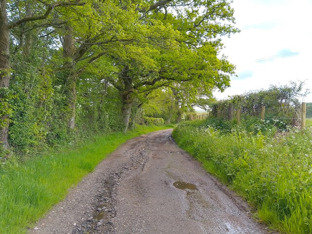
Trails nearby
Within roughly 5 km
🚶
Walking
▾
10 signed routes nearby · 9 public paths nearby
Signed route nearbyPublic paths
Wayfarers WalkWalking route▾
Walbury Hill, Berkshire to Emsworth, Hampshire
Named routeRegional walking route
The Roman WayWalking route274.5 km▾
Named routeLength 274.5 kmRegional walking route
The Brenda Parker WayWalking route▾
Named routeRegional walking route
Kennet and Avon Canal TrailWalking route140 km▾
Rivers linked by a canal. The name refers to the entire navigable length. From Bristol the way is the Avon. The canal is from Bath to Newbury. From there to Reading the way is the Kennet. 53 locks to Summit Pound (150 m asl) and 54 down to Reading.
Named routeRef K&ALength 140 kmRegional walking route
Watership Down TrailWalking route▾
Named routeRound tripRegional walking route
🚴
Cycling
▾
4 signed routes nearby
Signed route nearby
Route 4Cycling route▾
Named routeRef 4National Cycle Network
Round Berkshire Cycle RouteCycling route▾
Named routeRegional cycle route
EuroVelo 2 - Capitals Route - part United Kingdom 4Cycling route▾
Named routeRef EV2International cycle route
Main RouteCycling route778 m▾
Named routeRef 4Length 778 mNational Cycle NetworkTraffic-freeSurface asphalt
🚵
Mountain biking
▾
3 signed routes nearby
Signed route nearby
Watership Down Off-Road Cycle TrailMountain bike route▾
Named routeHampshire off Road cycle trails
Whitchurch Off-Road Cycle TrailMountain bike route▾
Named routeHampshire off Road cycle trails
Cycling Discoveries in North HampshireMountain bike route▾
Named route
🐴
Horse riding
▾
14 public paths nearby
Public paths
The Oxdrovebyway open to all traffic · 15 m▾
Public pathbyway open to all trafficLength 15 mSurface dirtPath type: track
The Oxdrovebyway open to all traffic · 159 m▾
Public pathbyway open to all trafficLength 159 mSurface dirtPath type: track
The Oxdrovebyway open to all traffic · 15 m▾
Public pathbyway open to all trafficLength 15 mSurface dirtPath type: track
The Oxdrovebyway open to all traffic · 221 m▾
Public pathbyway open to all trafficLength 221 mSurface dirtIncline upPath type: bridleway
The Oxdrovebyway open to all traffic · 21 m▾
Public pathbyway open to all trafficLength 21 mSurface asphaltPath type: track