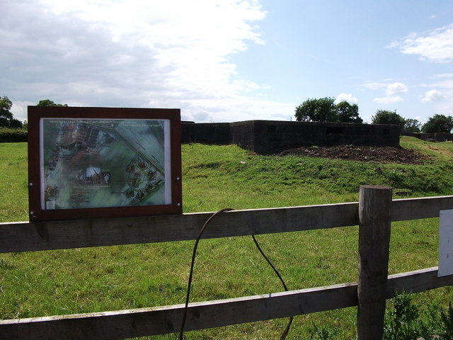
Goodrest Anti-Aircraft Battery site
Getting here
52.32143, -1.59819
Visiting this summer
Seasonal nature notes and what to look for now
Visiting this summer
Seasonal nature notes and what to look for now
- 🐦83+ species recorded in this area — summer evenings are best for activity; watch for Blue Tit and Woodpigeon
- ✦Historic character is a year-round quality here — summer brings its own atmosphere to the setting
- 🐕Dogs welcome — bring water in summer; the site has enough space to find shade on hot days
🌤️ Visiting this summer
- 🐦83+ species recorded in this area — summer evenings are best for activity; watch for Blue Tit and Woodpigeon
- ✦Historic character is a year-round quality here — summer brings its own atmosphere to the setting
- 🐕Dogs welcome — bring water in summer; the site has enough space to find shade on hot days
Good to know
- 🐕Dogs welcome
Best for
Bird watching
Very strong match
Birds — Blue Tit, Woodpigeon, Robin +80 more · last seen 2025; Birds — Blue Tit, Woodpigeon, Robin +80 more · last seen 2025
Wildlife
Very strong match
Multi-group wildlife — Birds, Mammals; Multi-group wildlife — Birds, Mammals
Heritage
Strong match
Historic site with public access
Insect spotting
Strong match
Insects — Common Darter, Migrant Hawker, Hairy Dragonfly +39 more · last seen 2025; Insects — Common Darter, Migrant Hawker, Hairy Dragonfly +39 more · last seen 2025
Dog walks
Good match
Dogs allowed with public access
Hiking
Good match
Named hiking route nearby: Centenary Way
Trails nearby
Within roughly 5 km🚶Walking
17 signed routes nearby · 12 public paths nearby
Signed route nearbyPublic paths
Walking
Centenary WayWalking route
Grand Union Canal WalkWalking route234 km
Birmingham to Napton section
Millennium TrailWalking route
A Coventry WayWalking route
Shakespeare's Avon WayWalking route142 km
From the source at Naseby, Northamptonshire to the Severn at Tewkesbury
🚴Cycling
55 signed routes nearby
Signed route nearby
Cycling
Route 41Cycling route
Route 52Cycling route
Cycle Coventry Route 10Cycling route
National Cycle Network National Route 523Cycling route
Main RouteCycling route1.2 km
Main RouteCycling route82 m
🐴Horse riding
6 public paths nearby
Public paths
Horse riding
No named routes yet. Public paths are shown on the map.
Wildlife to spot
Photos
Weather for this location
Loading local forecast…
Nearby places
Useful places within 5 km
Own or manage this place?
Claim this listing to keep details accurate, add photos, and highlight what makes it special — free.
Claim this pageHow was your visit?
How useful was the information on this page?
id: 1e5b06f1-0738-4b10-90d5-3a8fa809139c