Getting here
51.17002, -3.44771
Visiting this summer
Seasonal nature notes and what to look for now
Visiting this summer
Seasonal nature notes and what to look for now
- 🌞Midsummer — early morning visits most comfortable; look for deer fawns in quieter clearings
- 🐕Early mornings are best for dog walks in summer — visit before 9am to avoid the heat and find quieter trails
- 📍Open access throughout summer — no booking required
🌤️ Visiting this summer
- 🌞Midsummer — early morning visits most comfortable; look for deer fawns in quieter clearings
- 🐕Early mornings are best for dog walks in summer — visit before 9am to avoid the heat and find quieter trails
- 📍Open access throughout summer — no booking required
Good to know
- £Free to visit — no entry charge
- 🐕Dogs welcome
Best for
Wildlife
Strong match
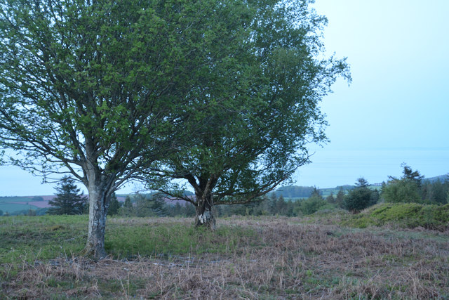
Deciduous woodland priority habitat
Bird watching
Strong match
Deciduous woodland — woodpeckers, warblers and woodland birds
Dog walks
Good match
Dogs allowed with public access
Insect spotting
Good match
Acid grassland — heathland butterflies and rare invertebrates
Foraging
Good match
Deciduous woodland — fungi, berries and wild garlic
Hiking
Good match
Named hiking route nearby: Macmillan Way West
Trails nearby
Within roughly 5 km🚶Walking
6 signed routes nearby · 8 public paths nearby
Signed route nearbyPublic paths
Walking
Monk's Path to Home Farm Blue AnchorWalking route
King Charles III England Coast Path: Brean Down to MineheadWalking route
South West Coast Path (Section 1: Minehead to Porlock Weir)Walking route
Coleridge WayWalking route82 km
King Charles III England Coast Path: Minehead to Combe MartinWalking route
🚴Cycling
6 signed routes nearby
Signed route nearby
Cycling
Regional Route 51Cycling route
Minehead to CarhamptonCycling route
Steam Coast TrailCycling route
N/ACycling route422 m
N/ACycling route4.6 km
N/ACycling route2.1 km
🐴Horse riding
8 public paths nearby
Public paths
Horse riding
Longcombe Lanerestricted byway · 392 m
Park Lanerestricted byway · 1.7 km
Wildlife to spot
Photos
Weather for this location
Loading local forecast…
Nearby places
Useful places within 5 km
Own or manage this place?
Claim this listing to keep details accurate, add photos, and highlight what makes it special — free.
Claim this pageHow was your visit?
How useful was the information on this page?
id: 0cede2d9-c179-4df5-b47e-fc7083919cbe