Getting here
52.23834, 0.24263
Visiting this summer
Seasonal nature notes and what to look for now
Visiting this summer
Seasonal nature notes and what to look for now
- 🌞Midsummer — early morning visits most comfortable; look for deer fawns in quieter clearings
- 🧺Good picnic destination in summer — open space and facilities for a relaxed day out
- ☕Café on site — makes this an easy full-day family visit without needing to pack food
🌤️ Visiting this summer
- 🌞Midsummer — early morning visits most comfortable; look for deer fawns in quieter clearings
- 🧺Good picnic destination in summer — open space and facilities for a relaxed day out
- ☕Café on site — makes this an easy full-day family visit without needing to pack food
Good to know
- £Free to visit — no entry charge
- 🐕Dogs welcome
Best for
Picnic day out
Strong match
café, toilets, car park
Family friendly
Strong match
café, toilets
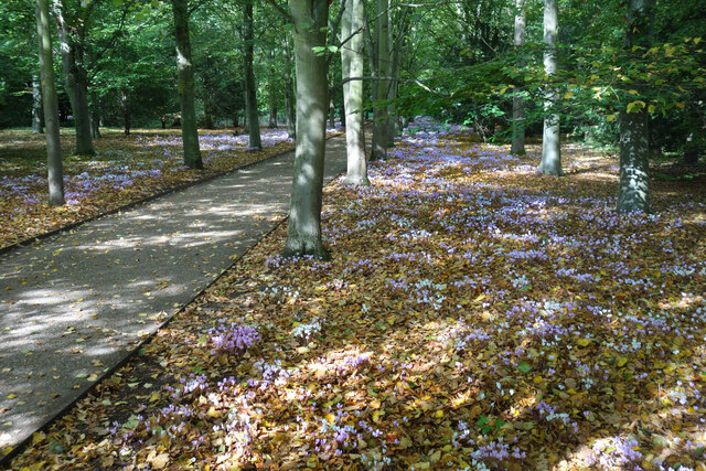
Wildlife
Strong match
Deciduous woodland priority habitat
Bird watching
Strong match
Deciduous woodland — woodpeckers, warblers and woodland birds
Dog walks
Good match
Dogs allowed with public access
Foraging
Good match
Deciduous woodland — fungi, berries and wild garlic
Trails nearby
Within roughly 5 km🚶Walking
9 signed routes nearby · 53 public paths nearby
Signed route nearbyPublic paths
Walking
Beyond Anglesey Abbey Walk, Anglesey AbbeyWalking route7.4 km
Flat route along grass paths. Dogs welcome.
Winter Walk, Anglesey AbbeyWalking route1.9 km
This route has some uneven ground and steep slopes. Most of the route has firm surfaces, but a small section is dirt track. Assistance dogs only.
Long Explorer's Route, Anglesey AbbeyWalking route2.4 km
This route can be seasonally muddy and had a narrow bridge (width 80cm) that is not recommended for mobility scooters. has some uneven ground and steep slopes. Most of the route has firm surfaces, but a small section is dirt track. Assistance dogs only.
Riverside walkWalking route
Horningsea and Clayhithe River WalkWalking route7.2 km
Quiken pathpublic footpath · 36 m
Drove bridgepublic footpath · 2 m
Harvey's Drovewaypublic footpath · 156 m
🚴Cycling
73 signed routes nearby
Signed route nearby
Cycling
Cambridge signed cycle routes networkCycling route
NCN National Route 11Cycling route
NCN 51Cycling route
Cambridge secondary cycle networkCycling route
N/ACycling route2 m
Main RouteCycling route52 m
Wildlife to spot
Photos
Weather for this location
Loading local forecast…
Nearby places
Useful places within 5 km
Own or manage this place?
Claim this listing to keep details accurate, add photos, and highlight what makes it special — free.
Claim this pageHow was your visit?
How useful was the information on this page?
id: cfaf57f9-bd0c-4f56-95ec-69a2df344b9b