Getting here
53.76651, -2.02036
Visiting this summer
Seasonal nature notes and what to look for now
Visiting this summer
Seasonal nature notes and what to look for now
- 🌞Midsummer — early morning visits most comfortable; look for deer fawns in quieter clearings
- 🐕Early mornings are best for dog walks in summer — visit before 9am to avoid the heat and find quieter trails
- 🅿️Midgehole Car Park 97m away — 6 car parks within reach
🌤️ Visiting this summer
- 🌞Midsummer — early morning visits most comfortable; look for deer fawns in quieter clearings
- 🐕Early mornings are best for dog walks in summer — visit before 9am to avoid the heat and find quieter trails
- 🅿️Midgehole Car Park 97m away — 6 car parks within reach
Good to know
- £Free to visit — no entry charge
- 🐕Dogs welcome
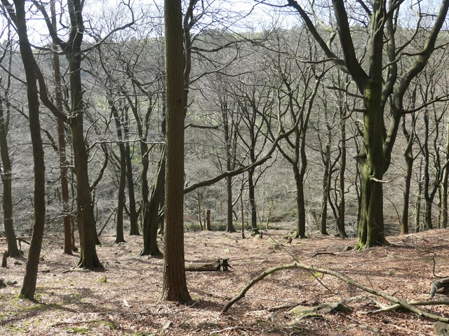
- 🌿Ancient woodland — rare wildlife habitat
Best for
Wildlife
Very strong match
Multi-group wildlife — Amphibians, Birds, Mammals, Reptiles; Multi-group wildlife — Amphibians, Birds, Mammals, Reptiles
Bird watching
Very strong match
Birds — Jackdaw, Blackbird, Wren +71 more · last seen 2026; Birds — Jackdaw, Blackbird, Wren +71 more · last seen 2026
Seasonal nature
Strong match
Ancient woodland — bluebells, fungi and autumn colour; Plants — Bifid Crestwort, Fairy Foxglove, Bank Haircap +81 more · last seen 2026
Insect spotting
Strong match
Lowland heathland — silver-studded blue and heath fritillary butterflies; Insects — Meadow Brown, Ringlet, Leucozona glaucia +40 more · last seen 2026
Dog walks
Strong match
Dogs allowed — public woodland
Foraging
Strong match
Plants — Bilberry, Hogweed, Wood-sorrel +7 more foraging species; Deciduous woodland — fungi, berries and wild garlic
Trails nearby
Within roughly 5 km🚶Walking
20 signed routes nearby · 26 public paths nearby
Signed route nearbyPublic paths
Walking
Mary Towneley LoopWalking route
Forms part of Pennine Bridleway National Trail
Todmorden Centenary WayWalking route
Pennine Way (Warland Reservoir to Calder Valley)Walking route
Todmorden Centenary Way LinkWalking route
Crags Walk, Hardcastle CragsWalking route1.3 km
Estate Trackpublic footpath · 1.6 km
🚴Cycling
63 signed routes nearby
Signed route nearby
Cycling
Pennine CyclewayCycling route
Route 66Cycling route
West Yorkshire Cycle RouteCycling route
Route 68Cycling route
Main RouteCycling route113 m
Main RouteCycling route45 m
🚵Mountain biking
3 signed routes nearby
Signed route nearby
Mountain biking
Calder Aire LinkMountain bike route
Great North Trail (Yorkshire Dales)Mountain bike route172.2 km
Great North Trail (Peak District and South Pennines)Mountain bike route130.4 km
🐴Horse riding
12 public paths nearby
Public paths
Horse riding
Cow Lanebridleway · 127 m
Midgehole Lanebridleway · 438 m
Wildlife to spot
Photos
Weather for this location
Loading local forecast…
Nearby places
Useful places within 5 km
Own or manage this place?
Claim this listing to keep details accurate, add photos, and highlight what makes it special — free.
Claim this pageHow was your visit?
How useful was the information on this page?
id: 931f5644-8311-406c-8f7c-bca7a5dc1763