☀️June — long evenings and clear skies; one of the most rewarding months for a late visit
🐕Early mornings are best for dog walks in summer — visit before 9am to avoid the heat and find quieter trails
🅿️Parking nearby — easy to reach by car
🌤️ Visiting this summer
☀️June — long evenings and clear skies; one of the most rewarding months for a late visit
🐕Early mornings are best for dog walks in summer — visit before 9am to avoid the heat and find quieter trails
🅿️Parking nearby — easy to reach by car
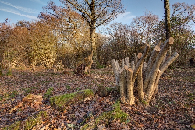
Good to know
£Free to visit — no entry charge
🐕Dogs welcome
🅿️Parking
Best for
6 activities
🦅
Bird watching
Strong match
Nature reserve
Free
🦉
Wildlife
Strong match
Nature reserve
Free
🐶
Dog walks
Strong match
Dogs allowed — nature reserve
Free
🌲
Forest walks
Strong match
Nature reserve
Free
🍂
Seasonal nature
Good match
Nature reserve — seasonal wildlife and habitats
Free
🧺
Picnic day out
Moderate match
Nature reserve — public outdoor space
Free
Trails nearby
Within roughly 5 km
🚶
Walking
▾
2 signed routes nearby
Signed route nearby
White Horse TrailWalking route▾
Named routeRef WHTRegional walking route
Kennet and Avon Canal TrailWalking route140 km▾
Rivers linked by a canal. The name refers to the entire navigable length. From Bristol the way is the Avon. The canal is from Bath to Newbury. From there to Reading the way is the Kennet. 53 locks to Summit Pound (150 m asl) and 54 down to Reading.
Named routeRef K&ALength 140 kmRegional walking route
🚴
Cycling
▾
40 signed routes nearby
Signed route nearby
Wiltshire CyclewayCycling route155 km▾
Named routeRef WCLength 155 kmRound tripRegional cycle route
Route 403Cycling route▾
Named routeRef 403National Cycle Network
EuroVelo 2 - Capitals Route - part United Kingdom 4Cycling route▾
Named routeRef EV2International cycle route
National Cycle Network Route 4Cycling route▾
Named routeRef 4National Cycle Network
Main RouteCycling route2.7 km▾
Named routeRef 4Length 2.7 kmNational Cycle NetworkTraffic-freeSurface unsealedfirm
N/ACycling route383 m▾
Named routeLength 383 mNational Cycle NetworkTraffic-freeSurface unsealedfirm
🐴
Horse riding
▾
4 public paths nearby
Public paths
Green Lanebridleway · 124 m▾
Public pathbridlewayLength 124 mSurface gravelPath type: track
Green Lanebridleway · 685 m▾
Public pathbridlewayLength 685 mSurface dirtPath type: bridleway
Green Lanebridleway · 2 m▾
Public pathbridlewayLength 2 mSurface asphaltPath type: bridleway