Plan your visit
Getting here
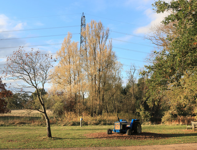
51.68196, -1.20186
Visiting this summer
Seasonal nature notes and what to look for now
Visiting this summer
Seasonal nature notes and what to look for now
- 🐦47+ species recorded in this area — summer evenings are best for activity; watch for Great Tit and Goldcrest
- 🧺Good picnic destination in summer — open space and facilities for a relaxed day out
- 🐕Dogs welcome — bring water in summer; the site has enough space to find shade on hot days
🌤️ Visiting this summer
- 🐦47+ species recorded in this area — summer evenings are best for activity; watch for Great Tit and Goldcrest
- 🧺Good picnic destination in summer — open space and facilities for a relaxed day out
- 🐕Dogs welcome — bring water in summer; the site has enough space to find shade on hot days
Good to know
- £Free to visit — no entry charge
- 🐕Dogs welcome
Best for
Bird watching
Very strong match
Birds — Great Tit, Goldcrest, Carrion Crow +44 more · last seen 2026; Deciduous woodland — woodpeckers, warblers and woodland birds
Picnic day out
Very strong match
picnic area, toilets; Urban park — open green space
Wildlife
Strong match
Birds — Great Tit, Goldcrest, Carrion Crow +44 more · last seen 2026; Deciduous woodland priority habitat
Insect spotting
Strong match
Lowland meadows — marbled white, meadow brown and pollinating insects
Dog walks
Strong match
Dogs allowed with public access
Family friendly
Strong match
toilets, picnic area; Urban park — family destination
Trails nearby
Within roughly 5 km🚶Walking
7 signed routes nearby · 6 public paths nearby
Signed route nearbyPublic paths
Walking
Oxford Green Belt WayWalking route87 km
Shakespeare's WayWalking route235 km
The Roman WayWalking route274.5 km
The Vale WayWalking route43 km
Route through the Vale of White Horse in Oxfordshire, UK. (27 miles).
European walking route E2 west, UK, South East EnglandWalking route
Westroute: Stranraer (UK) - Birminhgham (UK) - Calais (FR) - Zoersel (BE) / Eastroute: Stranraer (UK) - Harwich (UK) - Rotterdam (NL) - Zoersel (BE) / Both Routes: Zoersel (BE) - Maastrich (NL) - Luxembourg (LUX) - Lake Geneva (CH) - Nice (FR)
Church Lanepublic footpath · 103 m
🚴Cycling
48 signed routes nearby
Signed route nearby
Cycling
National Cycle Network Route 5Cycling route
Route 7Cycling route
Route 5Cycling route
Route 6Cycling route
Route 10Cycling route
Wootton-KenningtonCycling route
🐴Horse riding
2 public paths nearby
Public paths
Horse riding
No named routes yet. Public paths are shown on the map.
Wildlife to spot
Photos
Weather for this location
Loading local forecast…
Nearby places
Useful places within 5 km