Plan your visit
Getting here
52.54763, -1.52915
Visiting this summer
Seasonal nature notes and what to look for now
Visiting this summer
Seasonal nature notes and what to look for now
- 🐦62+ species recorded in this area — summer evenings are best for activity; watch for Robin and Wren
- 💜Bluebell walks is at its best in summer here
- 🐕Dogs welcome — bring water in summer; the site has enough space to find shade on hot days
🌤️ Visiting this summer
- 🐦62+ species recorded in this area — summer evenings are best for activity; watch for Robin and Wren
- 💜Bluebell walks is at its best in summer here
- 🐕Dogs welcome — bring water in summer; the site has enough space to find shade on hot days
Good to know
- £Free to visit — no entry charge
- 🐕Dogs welcome
Best for
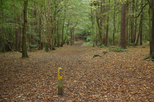
Ancient woodland
Very strong match
Ancient woodland — continuous woodland since before 1600
Bird watching
Very strong match
Birds — Robin, Wren, Jackdaw +59 more · last seen 2025; Ancient woodland — owls, woodpeckers, warblers
Bluebell walks
Very strong match
Ancient woodland — native bluebell habitat
Wildlife
Strong match
Birds — Robin, Wren, Jackdaw +59 more · last seen 2025; Deciduous woodland priority habitat
Seasonal nature
Strong match
Ancient woodland — bluebells, fungi and autumn colour
Dog walks
Strong match
Dogs allowed with public access
Trails nearby
Within roughly 5 km🚶Walking
6 signed routes nearby · 30 public paths nearby
Signed route nearbyPublic paths
Walking
Centenary WayWalking route
North Arden Heritage TrailWalking route
Quarrymans WalkWalking route
North Arden Trail - Parish LoopWalking route
Rail Trail: Bermuda Park > BedworthWalking route5.6 km
A 3.5-mile surprisingly rural walk between two stations on the Coventry to Nuneaton Line. Discover canals, countryside and a splash of mining heritage. Duration: 2 hours Distance: 3.5 miles
🚴Cycling
66 signed routes nearby
Signed route nearby
Cycling
Route 52Cycling route
Northern Warwickshire CyclewayCycling route
Alternative RouteCycling route498 m
Main RouteCycling route59 m
Alternative RouteCycling route61 m
Main RouteCycling route726 m
🐴Horse riding
5 public paths nearby
Public paths
Horse riding
No named routes yet. Public paths are shown on the map.
Wildlife to spot
Photos
Weather for this location
Loading local forecast…
Nearby places
Useful places within 5 km