Birds — Mallard, Woodpigeon, Moorhen +53 more · last seen 2025; Birds — Mallard, Woodpigeon, Moorhen +53 more · last seen 2025
Free
🍂
Seasonal nature
Strong match
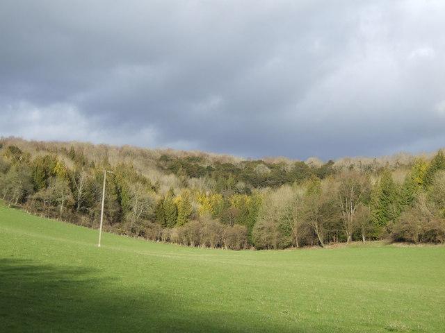
Ancient woodland — bluebells, fungi and autumn colour; Plants — Yellow Bird's-nest, Common Gromwell, Euphrasia officinalis +3 more · last seen 2024
Free
🦋
Insect spotting
Strong match
Chalk and limestone grassland — chalkhill blue, adonis blue and rare moths; Insects — Meadow Brown, Brimstone, Large White +45 more · last seen 2025
Free
🐶
Dog walks
Strong match
Dogs allowed — public woodland
Free
🚵
Mountain biking
Good match
Named MTB route nearby: South Downs Way
Varies
Trails nearby
Within roughly 5 km
🚶
Walking
▾
12 signed routes nearby · 22 public paths nearby
Signed route nearbyPublic paths
South Downs WayWalking route160 km▾
Named routeLength 160 kmNational walking route
Staunton WayWalking route▾
Named routeLocal walking route
Hangers WayWalking route▾
Named routeRegional walking route
Long Woodland TrailWalking route8 km▾
Named routeLength 8 kmLocal walking route
Short Woodland TrailWalking route3 km▾
Named routeLength 3 kmLocal walking route
North Lanepublic footpath · 332 m▾
Public pathpublic footpathLength 332 mSurface grassPath type: path
🚴
Cycling
▾
53 signed routes nearby
Signed route nearby
Route 222Cycling route▾
Named routeRef 222National Cycle Network
National Cycle Route 228 Pulborough to Petersfield (proposed)Cycling route▾
Named routeRef 228National Cycle Network
Route 22Cycling route▾
Named routeRef 22National Cycle Network
Discover the Hampshire South Downs by BikeCycling route▾
Named routeRef EHRegional cycle route
NCN 22/222 linkCycling route▾
Named routeLocal cycle route
Petersfield - QECP/SDWCycling route▾
Named routeRegional cycle route
🚵
Mountain biking
▾
10 signed routes nearby
Signed route nearby
South Downs WayMountain bike route▾
Named routeRef 89National Cycle Network
Petersfield Off Road Cycle TrailMountain bike route▾
Named route
QECP Blue MTBMountain bike route▾
Named routeRef Blue
King Alfred's WayMountain bike route▾
King Alfreds Way is 350km (220 miles) off road route designed to be ridden clockwise. It starts & ends in Winchester. It is suitable for gravel or cross-country bikes.
Named routeRegional cycle route
QECP Red MTBMountain bike route▾
Named routeRef Red
East Meon Off Road Cycle TrailMountain bike route16 km▾
Named routeLength 16 km
🐴
Horse riding
▾
12 public paths nearby
Public paths
No named routes yet. Public paths are shown on the map.