Getting here
53.24795, -1.74880
Visiting this summer
Seasonal nature notes and what to look for now
Visiting this summer
Seasonal nature notes and what to look for now
- 🌞Midsummer — early morning visits most comfortable; look for deer fawns in quieter clearings
- 🌿Foraging is at its best in summer here
- 🐕Dogs welcome — bring water in summer; the site has enough space to find shade on hot days
🌤️ Visiting this summer
- 🌞Midsummer — early morning visits most comfortable; look for deer fawns in quieter clearings
- 🌿Foraging is at its best in summer here
- 🐕Dogs welcome — bring water in summer; the site has enough space to find shade on hot days
Good to know
- £Free to visit — no entry charge
- 🐕Dogs welcome
Best for
Wildlife
Very strong match
Multi-group wildlife — Amphibians, Birds, Mammals; Multi-group wildlife — Amphibians, Birds, Mammals
Bird watching
Very strong match
Birds — Dipper, Mallard, Robin +68 more · last seen 2026; Birds — Dipper, Mallard, Robin +68 more · last seen 2026
Insect spotting
Strong match
Insects — Dark-edged Bee-fly, Yellow Meadow Ant, Murky-legged Black Legionnaire +125 more · last seen 2026; Insects — Dark-edged Bee-fly, Yellow Meadow Ant, Murky-legged Black Legionnaire +125 more · last seen 2026
Seasonal nature
Strong match
Plants — Lords-and-Ladies, Hogweed, Hart's-Tongue +172 more · last seen 2026; Plants — Lords-and-Ladies, Hogweed, Hart's-Tongue +172 more · last seen 2026
Foraging
Strong match
Plants — Hogweed, Water Mint, Meadowsweet +24 more foraging species
Heritage
Strong match
Historic site
Trails nearby
Within roughly 5 km🚶Walking
4 signed routes nearby
Signed route nearby
Walking
Midshires WayWalking route370 km
Multi-use trail links the Ridgeway National Trail with the Trans Pennine Trail
Limestone WayWalking route74 km
Castleton to Rocester
Peak District Boundary Walk Stage 1Walking route
Monsal TrailWalking route
🚴Cycling
16 signed routes nearby
Signed route nearby
Cycling
Monsal TrailCycling route
Main RouteCycling route2.4 km
Main RouteCycling route34 m
Main RouteCycling route709 m
Main RouteCycling route476 m
Main RouteCycling route484 m
🚵Mountain biking
1 signed route nearby
Signed route nearby
Mountain biking
Great North Trail (Peak District and South Pennines)Mountain bike route130.4 km
Wildlife to spot
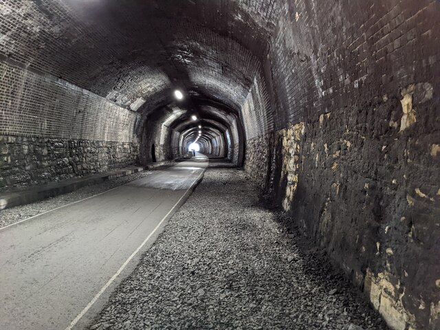
Photos
Weather for this location
Loading local forecast…
Nearby places
Useful places within 5 km
Own or manage this place?
Claim this listing to keep details accurate, add photos, and highlight what makes it special — free.
Claim this pageHow was your visit?
How useful was the information on this page?
id: 9f95d824-324a-4ef7-a31e-1ffae41ef5ec