Getting here
50.44061, -3.82750
About Hillfort on Brent Hill
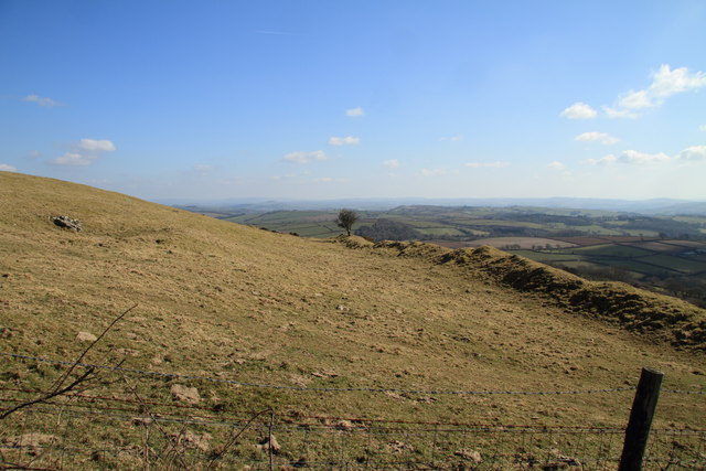
Brent Hill is the site of an Iron Age hill fort situated close to South Brent in Devon, England. The fort occupies the top of Brent Hill at approx 311 metres (1,020 ft) above Sea Level.
Read more on Wikipedia →Visiting this summer
Seasonal nature notes and what to look for now
Visiting this summer
Seasonal nature notes and what to look for now
- 🌞Midsummer — early morning visits most comfortable; look for deer fawns in quieter clearings
- ✦Historic character is a year-round quality here — summer brings its own atmosphere to the setting
- 🐕Dogs welcome — bring water in summer; the site has enough space to find shade on hot days
🌤️ Visiting this summer
- 🌞Midsummer — early morning visits most comfortable; look for deer fawns in quieter clearings
- ✦Historic character is a year-round quality here — summer brings its own atmosphere to the setting
- 🐕Dogs welcome — bring water in summer; the site has enough space to find shade on hot days
Good to know
- £Free to visit — no entry charge
- 🐕Dogs welcome
Best for
Wildlife
Very strong match
Multi-group wildlife — Amphibians, Birds, Mammals; Multi-group wildlife — Amphibians, Birds, Mammals
Bird watching
Very strong match
Birds — Robin, Blue Tit, Blackbird +62 more · last seen 2025; Birds — Robin, Blue Tit, Blackbird +62 more · last seen 2025
Heritage
Strong match
Historic site
Insect spotting
Good match
Insects — Green Shieldbug, Speckled Bush-cricket, Garden Chafer +16 more · last seen 2025; Insects — Green Shieldbug, Speckled Bush-cricket, Garden Chafer +16 more · last seen 2025
Trails nearby
Within roughly 5 km🚶Walking
4 signed routes nearby · 2 public paths nearby
Signed route nearbyPublic paths
Walking
Two Moors WayWalking route
Dartmoor WayWalking route
Abbot's WayWalking route
Buckfastleigh to Totnes TrailWalking route
🚴Cycling
30 signed routes nearby
Signed route nearby
Cycling
Route 2Cycling route
National Cycle Route 2 Dawlish to Plymouth
NCN272Cycling route
Forder LaneCycling route
Dartmoor Way (Cycle)Cycling route
Main RouteCycling route329 m
Main RouteCycling route2.9 km
Wildlife to spot
Photos
Weather for this location
Loading local forecast…
Nearby places
Useful places within 5 km
Own or manage this place?
Claim this listing to keep details accurate, add photos, and highlight what makes it special — free.
Claim this pageHow was your visit?
How useful was the information on this page?
id: 07e306ac-856c-4df7-bcae-0757401d0f29