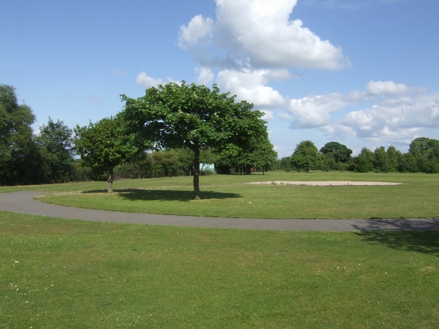
Plan your visit
Getting here
52.65108, -1.93461
Visiting this summer
Seasonal nature notes and what to look for now
Visiting this summer
Seasonal nature notes and what to look for now
- 🐦87+ species recorded in this area — summer evenings are best for activity; watch for Black-headed Gull and Little Grebe
- ☀️Summer family visits work well here — arrive early and plan for a longer stay
- 🛝Playground on site — built-in entertainment for younger visitors alongside the wider site
🌤️ Visiting this summer
- 🐦87+ species recorded in this area — summer evenings are best for activity; watch for Black-headed Gull and Little Grebe
- ☀️Summer family visits work well here — arrive early and plan for a longer stay
- 🛝Playground on site — built-in entertainment for younger visitors alongside the wider site
Good to know
- £Free to visit — no entry charge
- 🐕Dogs welcome
Best for
Bird watching
Very strong match
Birds — Black-headed Gull, Little Grebe, Lesser Black-backed Gull +84 more · last seen 2026; Lowland heathland — Dartford warblers, nightjars and stonechats
Wildlife
Strong match
Birds — Black-headed Gull, Little Grebe, Lesser Black-backed Gull +84 more · last seen 2026; Lowland heathland priority habitat
Insect spotting
Strong match
Lowland heathland — silver-studded blue and heath fritillary butterflies; Insects — Sigara (Sigara) dorsalis, Corixa panzeri, Water Measurer +8 more · last seen 2025
Playgrounds
Strong match
playground, parking
Family friendly
Strong match
playground; Urban park — family destination
Dog walks
Strong match
Dogs allowed with public access
Trails nearby
Within roughly 5 km🚶Walking
7 signed routes nearby
Signed route nearby
Walking
Heart of England WayWalking route
E2 hiking trail BirminghamWalking route
Four Commons WalkWalking route9.5 km
Circular route following the Wyrley & Essington Canal to Clayhanger Common – one of Walsall’s much-loved areas of green, open space. Distance: 6 miles/9.5 km(approx) Duration: 120 mins(approx)
Clayhanger Common WalkWalking route9.5 km
Short, circular route following the Wyrley & Essington Canal to Clayhanger Common – one of Walsall’s much-loved areas of green, open space. Distance: 6 miles/9.5 km(approx) Duration: 120 mins(approx)
Beacon WayWalking route40 km
Starting at Sandwell Valley via the outskirts of Birmingham and the countryside of Walsall into Staffordshire. Take in the Forest of Mercia, lakes, nature reserves, woods, and canal banks. Named after Barr Beacon, one of the highest hills in this area.
🚴Cycling
61 signed routes nearby
Signed route nearby
Cycling
Route 54Cycling route
McClean WayCycling route
Sneyd Junction to Cannock Extension CanalCycling route8.8 km
A semi-rural route following the curves of the canal, until it opens out into parkland at the Cannock Extension. Distance: 5.5 miles/8.8 km (approx) Duration: 45 min (approx)
Cannock Extension Canal to Longwood JunctionCycling route11.2 km
Canalside route leading past Clayhanger Common and through Rushall, with a pub along the way. Distance: 7 miles/11.2 km (approx) Duration: 60 min (approx)
Sneyd Junction to Pudding Green JunctionCycling route16 km
Canalside route passing through the heartlands of the industrial Black Country. Decends using the Walsall locks then rises at Ryders Green Locks. Distance: 10 miles/16 km (approx) Duration: 90 min (approx)
National Cycle Network Route 5Cycling route
Wildlife to spot
Photos
Weather for this location
Loading local forecast…
Nearby places
Useful places within 5 km