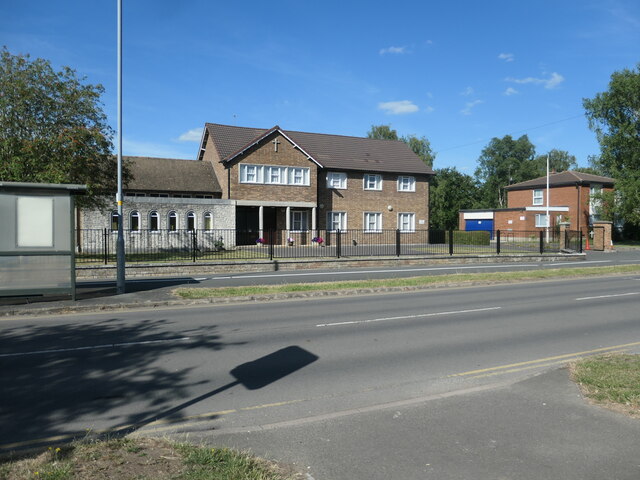
Holy Family Church
Getting here
51.56137, -1.74170
Visiting this summer
Seasonal nature notes and what to look for now
Visiting this summer
Seasonal nature notes and what to look for now
- 🌞Midsummer — early morning visits most comfortable; look for deer fawns in quieter clearings
- 🐕Early mornings are best for dog walks in summer — visit before 9am to avoid the heat and find quieter trails
- 🅿️Parking 157m away — 2 car parks within reach
🌤️ Visiting this summer
- 🌞Midsummer — early morning visits most comfortable; look for deer fawns in quieter clearings
- 🐕Early mornings are best for dog walks in summer — visit before 9am to avoid the heat and find quieter trails
- 🅿️Parking 157m away — 2 car parks within reach
Good to know
- £Free to visit — no entry charge
- 🐕Dogs welcome
Best for
Wildlife
Very strong match
Multi-group wildlife — Amphibians, Birds, Mammals; Multi-group wildlife — Amphibians, Birds, Mammals
Bird watching
Very strong match
Birds — Woodpigeon, Magpie, Robin +72 more · last seen 2026; Birds — Woodpigeon, Magpie, Robin +72 more · last seen 2026
Dog walks
Good match
Dogs allowed with public access
Insect spotting
Good match
Insects — Wool Carder Bee, 7-spot Ladybird, Speckled Bush-cricket +3 more · last seen 2025; Insects — Wool Carder Bee, 7-spot Ladybird, Speckled Bush-cricket +3 more · last seen 2025
Seasonal nature
Good match
Plants — Fox-and-cubs, Red Valerian, Field Maple +10 more · last seen 2025; Plants — Fox-and-cubs, Red Valerian, Field Maple +10 more · last seen 2025
Foraging
Good match
Plants — Common Nettle, Rowan, Garlic Mustard
Trails nearby
Within roughly 5 km🚶Walking
7 signed routes nearby · 1 public path nearby
Signed route nearbyPublic paths
Walking
The RidgewayWalking route140 km
The Roman WayWalking route274.5 km
Sarsen WayWalking route
Millennium TrailWalking route
Ridgeway Circular RouteWalking route
Aldbourne Circular Route
Melford Walkpublic footpath · 57 m
🚴Cycling
77 signed routes nearby
Signed route nearby
Cycling
Mercian WayCycling route
Route (45)Cycling route
National Cycle Network link route between NCN 45 and Swindon station
Eastern FlyerCycling route
Tadpole RoundCycling route9.1 km
(45)Cycling route
National Cycle Network link route between NCN 45 and Swindon station
Swindon to Ridgeway LinkCycling route
🚵Mountain biking
1 signed route nearby
Signed route nearby
Mountain biking
King Alfred's WayMountain bike route
King Alfreds Way is 350km (220 miles) off road route designed to be ridden clockwise. It starts & ends in Winchester. It is suitable for gravel or cross-country bikes.
Wildlife to spot
Photos
Weather for this location
Loading local forecast…
Nearby places
Useful places within 5 km
Own or manage this place?
Claim this listing to keep details accurate, add photos, and highlight what makes it special — free.
Claim this pageHow was your visit?
How useful was the information on this page?
id: 99960aec-48ec-4926-98d5-b67a62e5925f