Plan your visit
Getting here
51.43752, -1.04860
Visiting this summer
Seasonal nature notes and what to look for now
Visiting this summer
Seasonal nature notes and what to look for now
- 🐦89+ species recorded in this area — summer evenings are best for activity; watch for Black-headed Gull and Great Crested Grebe
- ☀️Summer family visits work well here — arrive early and plan for a longer stay
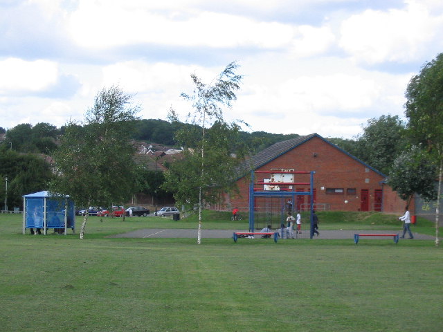
- 🛝Playground 252m away — built-in entertainment for younger visitors alongside the wider site
🌤️ Visiting this summer
- 🐦89+ species recorded in this area — summer evenings are best for activity; watch for Black-headed Gull and Great Crested Grebe
- ☀️Summer family visits work well here — arrive early and plan for a longer stay
- 🛝Playground 252m away — built-in entertainment for younger visitors alongside the wider site
Good to know
- £Free to visit — no entry charge
- 🐕Dogs welcome
Best for
Bird watching
Very strong match
Birds — Black-headed Gull, Great Crested Grebe, Mallard +86 more · last seen 2026; Grazing marsh — lapwing, redshank, snipe and wintering wildfowl
Wildlife
Strong match
Birds — Black-headed Gull, Great Crested Grebe, Mallard +86 more · last seen 2026; Deciduous woodland priority habitat
Insect spotting
Strong match
Insects — Common Blue Damselfly, Humming-bird Hawk-moth, Banded Demoiselle +61 more · last seen 2025
Playgrounds
Strong match
playground, parking
Family friendly
Strong match
playground; Urban park — family destination
Dog walks
Strong match
Dogs allowed with public access
Trails nearby
Within roughly 5 km🚶Walking
7 signed routes nearby · 8 public paths nearby
Signed route nearbyPublic paths
Walking
The Roman WayWalking route274.5 km
European walking route E2 west, UK, South East EnglandWalking route
Westroute: Stranraer (UK) - Birminhgham (UK) - Calais (FR) - Zoersel (BE) / Eastroute: Stranraer (UK) - Harwich (UK) - Rotterdam (NL) - Zoersel (BE) / Both Routes: Zoersel (BE) - Maastrich (NL) - Luxembourg (LUX) - Lake Geneva (CH) - Nice (FR)
Kennet and Avon Canal TrailWalking route140 km
Rivers linked by a canal. The name refers to the entire navigable length. From Bristol the way is the Avon. The canal is from Bath to Newbury. From there to Reading the way is the Kennet. 53 locks to Summit Pound (150 m asl) and 54 down to Reading.
The Wokingham WayWalking route
St James' WayWalking route110 km
Wellmans Footbridgepublic footpath · 10 m
🚴Cycling
57 signed routes nearby
Signed route nearby
Cycling
Round Berkshire Cycle RouteCycling route
National Cycle Route 23Cycling route
Route R5Cycling route
Route R1Cycling route
Route R6Cycling route
Reading R50Cycling route
🚵Mountain biking
1 signed route nearby
Signed route nearby
Mountain biking
King Alfred's WayMountain bike route
King Alfreds Way is 350km (220 miles) off road route designed to be ridden clockwise. It starts & ends in Winchester. It is suitable for gravel or cross-country bikes.
Wildlife to spot
Photos
Weather for this location
Loading local forecast…
Nearby places
Useful places within 5 km