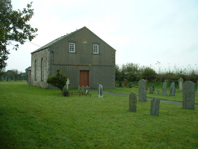
Horeb Congregational Chapel
Getting here
51.76216, -4.84117
Visiting this summer
Seasonal nature notes and what to look for now
Visiting this summer
Seasonal nature notes and what to look for now
- 🐦55+ species recorded in this area — summer evenings are best for activity; watch for Blackbird and Carrion Crow
- 🐕Early mornings are best for dog walks in summer — visit before 9am to avoid the heat and find quieter trails
- 📍Open access throughout summer — no booking required
🌤️ Visiting this summer
- 🐦55+ species recorded in this area — summer evenings are best for activity; watch for Blackbird and Carrion Crow
- 🐕Early mornings are best for dog walks in summer — visit before 9am to avoid the heat and find quieter trails
- 📍Open access throughout summer — no booking required
Good to know
- £Free to visit — no entry charge
- 🐕Dogs welcome
Best for
Bird watching
Very strong match
Birds — Blackbird, Carrion Crow, Magpie +52 more · last seen 2025; Birds — Blackbird, Carrion Crow, Magpie +52 more · last seen 2025
Wildlife
Very strong match
Multi-group wildlife — Birds, Mammals; Multi-group wildlife — Birds, Mammals
Seasonal nature
Strong match
Plants — Greater Fork-moss, Spiky Bog-moss, Blunt-leaved Bog-moss +31 more · last seen 2023; Plants — Greater Fork-moss, Spiky Bog-moss, Blunt-leaved Bog-moss +31 more · last seen 2023
Insect spotting
Strong match
Insects — Buff-tailed Bumblebee, Yellow-Line Quaker, Beaded Chestnut +38 more · last seen 2025; Insects — Buff-tailed Bumblebee, Yellow-Line Quaker, Beaded Chestnut +38 more · last seen 2025
Dog walks
Good match
Dogs allowed with public access
Heritage
Moderate match
Religious grounds — local heritage
Trails nearby
Within roughly 5 km🚶Walking
2 signed routes nearby
Signed route nearby
Walking
Lawrenny Walk, PembrokeWalking route4.8 km
Upstream from Milford Haven, find drowned wooded valleys with an expanse of salt marsh & mudflats. Traverse the steep-sided ancient oak woodland of Lawrenny, which overlooks the Daugleddau River & tidal creeks of Garron Pill & Cresswell.
Landsker Borderlands TrailWalking route
🚴Cycling
7 signed routes nearby
Signed route nearby
Cycling
National Cycle Network Route 440Cycling route
Main RouteCycling route101 m
Main RouteCycling route1.3 km
Main RouteCycling route292 m
Main RouteCycling route2.4 km
Main RouteCycling route1.4 km
Wildlife to spot
Photos
Weather for this location
Loading local forecast…
Nearby places
Useful places within 5 km
Own or manage this place?
Claim this listing to keep details accurate, add photos, and highlight what makes it special — free.
Claim this pageHow was your visit?
How useful was the information on this page?
id: 82b0a084-3c98-4b9b-b20d-d970f6c1cdae