Birds — Robin, Blackcap, Woodpigeon +58 more · last seen 2026; Birds — Robin, Blackcap, Woodpigeon +58 more · last seen 2026
Free
⚽
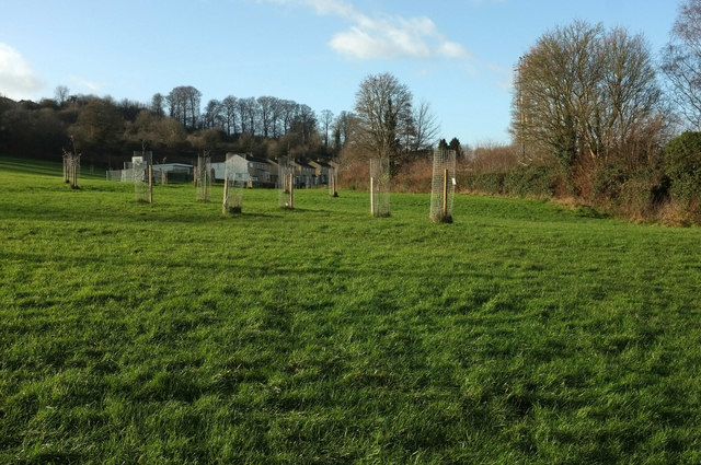
Playing fields
Very strong match
Playing field
Free
🦋
Insect spotting
Strong match
Insects — Dark-edged Bee-fly, Marmalade Hoverfly, Dock Bug +108 more · last seen 2026; Insects — Dark-edged Bee-fly, Marmalade Hoverfly, Dock Bug +108 more · last seen 2026
Free
🎠
Playgrounds
Strong match
playground, parking
Free
🛝
Family friendly
Strong match
playground; Playing field
Free
Trails nearby
Within roughly 5 km
🚶
Walking
▾
6 signed routes nearby · 87 public paths nearby
Signed route nearbyPublic paths
Monarch's WayWalking route990 km▾
approximate route of Charles II's escape
Named routeRef MWLength 990 kmRegional walking route
Bath Skyline WalkWalking route9.6 km▾
An elevated clockwise circular with panoramic views of the Bath landscape. The contrast of the city, so close to this rural haven, has earned the area World Heritage Site status. Roads, surfaced paths, steep hills, a rocky uneven section, steps & a stile.
Named routeRef BSLength 9.6 kmDuration 03:30-04:00Round tripLocal walking route
Limestone LinkWalking route58 km▾
Named routeRef LLLength 58 kmRegional walking route
Kennet and Avon Canal TrailWalking route140 km▾
Rivers linked by a canal. The name refers to the entire navigable length. From Bristol the way is the Avon. The canal is from Bath to Newbury. From there to Reading the way is the Kennet. 53 locks to Summit Pound (150 m asl) and 54 down to Reading.
Named routeRef K&ALength 140 kmRegional walking route
Cotswold WayWalking route164 km▾
Named routeRef CWLength 164 kmNational walking route
Bath-Bristol Cycle-trackpublic footpath · 458 m▾
Public pathpublic footpathLength 458 mSurface asphaltPath type: cycleway
Rooksbridge Walkpublic footpath · 5 m▾
Public pathpublic footpathLength 5 mSurface asphaltPath type: steps
Bath-Bristol Cycle-trackpublic footpath · 472 m▾
Public pathpublic footpathLength 472 mSurface asphaltPath type: cycleway
🚴
Cycling
▾
114 signed routes nearby
Signed route nearby
Bath Two Tunnels CircuitCycling route▾
Named routeLocal cycle route
Avon CyclewayCycling route▾
Named routeRegional cycle route
Route 24Cycling route▾
Named routeRef 24National Cycle Network
Bristol & Bath Railway PathCycling route▾
Named routeRef B&BRPLocal cycle route
EuroVelo 2 - Capitals Route - part United Kingdom 4Cycling route▾