🐦47+ species recorded in this area — summer evenings are best for activity; watch for Shoveler and Pochard
☀️Summer family visits work well here — arrive early and plan for a longer stay
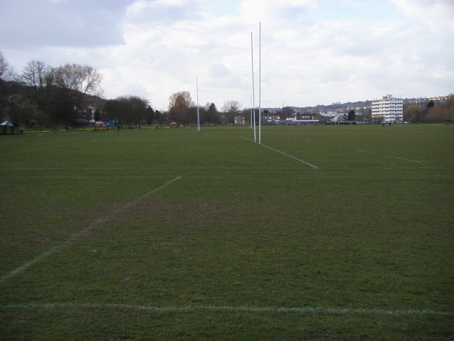
🛝Playground 287m away — built-in entertainment for younger visitors alongside the wider site
🌤️ Visiting this summer
🐦47+ species recorded in this area — summer evenings are best for activity; watch for Shoveler and Pochard
☀️Summer family visits work well here — arrive early and plan for a longer stay
🛝Playground 287m away — built-in entertainment for younger visitors alongside the wider site
Good to know
£Free to visit — no entry charge
🐕Dogs welcome
🅿️Parking· Free🛝Playground
Best for
11 activities
🦅
Bird watching
Very strong match
Birds — Shoveler, Pochard, Wigeon +44 more · last seen 2025; Deciduous woodland — woodpeckers, warblers and woodland birds
Free
🦉
Wildlife
Strong match
Birds — Shoveler, Pochard, Wigeon +44 more · last seen 2025; Deciduous woodland priority habitat
Free
🦋
Insect spotting
Strong match
Insects — Meadow Brown, Brimstone, Gatekeeper +61 more · last seen 2025
Free
🎠
Playgrounds
Strong match
playground, parking
Free
🛝
Family friendly
Strong match
playground; Urban park — family destination
Free
🐶
Dog walks
Strong match
Dogs allowed with public access
Free
Trails nearby
Within roughly 5 km
🚶
Walking
▾
15 signed routes nearby · 29 public paths nearby
Signed route nearbyPublic paths
The Chiltern WayWalking route275 km▾
A waymarked long-distance footpath in southern England
Named routeRef CWLength 275 kmRegional walking route
Shakespeare's WayWalking route235 km▾
Named routeLength 235 kmRegional walking route
The Long Wind in the Willows Walk, MaidenheadWalking route8 km▾
A moderate circular exploring the rural community of Cookham Dean & the Woodland Trust's Wild Wood at Quarry & Fultness Woods. Pass through farmland, woodland & along the village lanes that inspired Kenneth Grahame, author of Wind in the Willows.
Named routeLength 8 kmDuration 02:30-04:00Round tripLocal walking route
Cookham and Cock Marsh Walk, MaidenheadWalking route6.4 km▾
Follow this circular walk along riverside paths, through lush meadows and over chalk grassland slopes and enjoy panoramic views across the Thames Valley. Trail includes one short, sttep climb and a kissing gate that is difficult to navigate in a wheelchai
Named routeLength 6.4 kmDuration 01:30-02:00Round tripLocal walking route
Beeches WayWalking route25 km▾
Named routeLength 25 kmLocal walking route
Bridge Bank Closepublic footpath · 82 m▾
Public pathpublic footpathLength 82 mPath type: service
🚴
Cycling
▾
4 signed routes nearby
Signed route nearby
High Wycombe East-West Cycle RouteCycling route▾
Named routeLocal cycle route
Round Berkshire Cycle RouteCycling route▾
Named routeRegional cycle route
Milton RouteCycling route▾
Named routeRef MiltonLocal cycle route
Round Berkshire Cycle RouteCycling route▾
Named routeRegional cycle route
🐴
Horse riding
▾
7 public paths nearby
Public paths
Rayners Avenuebridleway · 173 m▾
Public pathbridlewayLength 173 mSurface asphaltPath type: residential
Robinson Roadbridleway · 13 m▾
Public pathbridlewayLength 13 mSurface asphaltPath type: residential
Magpie Lanebridleway · 116 m▾
Public pathbridlewayLength 116 mSurface dirtPath type: residential