Getting here
52.40962, -1.94103
Visiting this summer
Seasonal nature notes and what to look for now
Visiting this summer
Seasonal nature notes and what to look for now
- 🌞Midsummer — early morning visits most comfortable; look for deer fawns in quieter clearings
- 🐕Early mornings are best for dog walks in summer — visit before 9am to avoid the heat and find quieter trails
- 🅿️Kings Norton Station Car Park 152m away — 20 car parks within reach
🌤️ Visiting this summer
- 🌞Midsummer — early morning visits most comfortable; look for deer fawns in quieter clearings
- 🐕Early mornings are best for dog walks in summer — visit before 9am to avoid the heat and find quieter trails
- 🅿️Kings Norton Station Car Park 152m away — 20 car parks within reach
Good to know
- £Free to visit — no entry charge
- 🐕Dogs welcome
Best for
Bird watching
Strong match
Nature reserve
Wildlife
Strong match
Nature reserve
Dog walks
Strong match
Dogs allowed — nature reserve
Forest walks
Strong match
Nature reserve
Seasonal nature
Good match
Nature reserve — seasonal wildlife and habitats
Cycling
Good match
Named cycling route nearby: National Cycle Network Route 5
Trails nearby
Within roughly 5 km🚶Walking
9 signed routes nearby · 39 public paths nearby
Signed route nearbyPublic paths
Walking
Woodpecker TrailWalking route
Birmingham Platinum Jubilee WalkwayWalking route19 km
A circular walkway to celebrate Queen Elizabeth II's Platinum Jubilee marked by pavement bronze plaques at 20 points of special significance to the people of Birmingham. Unveiled by HRH The Earl of Wessex.
Rail Trail: Wythall > ShirleyWalking route4.8 km
A 3-mile wander through the pasture and meadows around the outer Shirley suburbs of Major’s Green and Hollywood. Eyes peeled for the Iron Age hillfort! Duration: 1.5 hours Distance: 3 miles
Rail Trail: Earlswood > WythallWalking route2.8 km
A 1.75-mile short and easy route to Earlswood passing through farm and heathland, crossing the River Cole, and skirting Fulford Golf Course. Duration: 1 hour Distance: 1.75 miles
North Worcestershire PathWalking route
Birdcage Walkpublic footpath · 155 m
Lakehouse Grovepublic footpath · 21 m
Rea Valley Routepublic footpath · 236 m
🚴Cycling
68 signed routes nearby
Signed route nearby
Cycling
National Cycle Network Route 5Cycling route
Merrits Brook GreenwayCycling route
Rea Valley RouteCycling route
NCN 5 section of Rea Valley Route
[PROPOSED]Starley Regional Cycle NetworkCycling route804 km
Starley (TfWM) Regional Cycle Network (Proposed route)
Route 55Cycling route
Billesley & Shire Country Park CircularCycling route
About this nature reserve
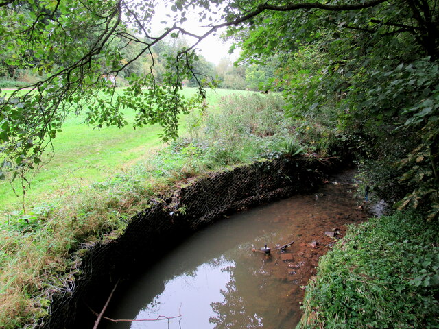
Kings Norton is a 19-hectare Local Nature Reserve situated in Birmingham, West Midlands. It features woodlands and meadows, providing habitat for birds, insects, and small mammals, along with trails for walking and cycling.
Wildlife to spot
Photos
Weather for this location
Loading local forecast…
Nearby places
Useful places within 5 km
Own or manage this place?
Claim this listing to keep details accurate, add photos, and highlight what makes it special — free.
Claim this pageHow was your visit?
How useful was the information on this page?
id: 6af017e6-5988-4bea-b206-395e4dca6ccf