Getting here
51.37889, -2.78165
Visiting this summer
Seasonal nature notes and what to look for now
Visiting this summer
Seasonal nature notes and what to look for now
- 🌞Midsummer — early morning visits most comfortable; look for deer fawns in quieter clearings
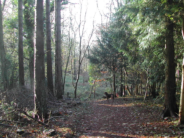
- 🐕Early mornings are best for dog walks in summer — visit before 9am to avoid the heat and find quieter trails
- 🅿️Goblin Combe Car Park 390m away — 2 car parks within reach
🌤️ Visiting this summer
- 🌞Midsummer — early morning visits most comfortable; look for deer fawns in quieter clearings
- 🐕Early mornings are best for dog walks in summer — visit before 9am to avoid the heat and find quieter trails
- 🅿️Goblin Combe Car Park 390m away — 2 car parks within reach
Good to know
- £Free to visit — no entry charge
- 🐕Dogs welcome
- 🌿Ancient woodland — rare wildlife habitat
Best for
Wildlife
Very strong match
Multi-group wildlife — Amphibians, Birds, Mammals, Reptiles; Multi-group wildlife — Amphibians, Birds, Mammals, Reptiles
Bird watching
Very strong match
Birds — Woodpigeon, Robin, Blue Tit +54 more · last seen 2026; Birds — Woodpigeon, Robin, Blue Tit +54 more · last seen 2026
Seasonal nature
Strong match
Ancient woodland — bluebells, fungi and autumn colour; Plants — Fox-tail Feather-moss, Bee Orchid, Common Spotted-orchid +3 more · last seen 2025
Insect spotting
Strong match
Insects — Swollen-thighed Beetle, Common Red Soldier Beetle, Yellow-legged Black +74 more · last seen 2025; Insects — Swollen-thighed Beetle, Common Red Soldier Beetle, Yellow-legged Black +74 more · last seen 2025
Dog walks
Strong match
Dogs allowed — public woodland
Foraging
Good match
Deciduous woodland — fungi, berries and wild garlic
Trails nearby
Within roughly 5 km🚶Walking
3 signed routes nearby · 20 public paths nearby
Signed route nearbyPublic paths
Walking
Two Rivers WayWalking route32 km
Congresbury to Keynsham
Round Yatton WalkWalking route
Nailsea RoundWalking route
Saint Congar's Waypublic footpath · 1.2 km
Plunder Streetpublic footpath · 79 m
🚴Cycling
34 signed routes nearby
Signed route nearby
Cycling
Route 33Cycling route
Strawberry LineCycling route
Avon CyclewayCycling route
Route 26Cycling route
Festival WayCycling route
Main RouteCycling route2.2 km
🐴Horse riding
3 public paths nearby
Public paths
Horse riding
Chapel Lanebridleway · 184 m
Wildlife to spot
Photos
Weather for this location
Loading local forecast…
Nearby places
Useful places within 5 km
Own or manage this place?
Claim this listing to keep details accurate, add photos, and highlight what makes it special — free.
Claim this pageHow was your visit?
How useful was the information on this page?
id: 27395737-c319-43a8-bbdb-5f53a7c15277