Kitchen Lane Allotment Site
Getting here
52.61258, -2.06636
Visiting this summer
Seasonal nature notes and what to look for now
Visiting this summer
Seasonal nature notes and what to look for now
- 🌞Midsummer — early morning visits most comfortable; look for deer fawns in quieter clearings
- 🐕Dogs welcome — bring water in summer; the site has enough space to find shade on hot days
🌤️ Visiting this summer
- 🌞Midsummer — early morning visits most comfortable; look for deer fawns in quieter clearings
- 🐕Dogs welcome — bring water in summer; the site has enough space to find shade on hot days
Good to know
- 🐕Dogs welcome
Best for
Wildlife
Very strong match
Multi-group wildlife — Amphibians, Birds, Mammals; Multi-group wildlife — Amphibians, Birds, Mammals
Bird watching
Very strong match
Birds — Magpie, Black-headed Gull, Woodpigeon +68 more · last seen 2026; Birds — Magpie, Black-headed Gull, Woodpigeon +68 more · last seen 2026
Insect spotting
Strong match
Insects — Small White, Peacock, Painted Lady +78 more · last seen 2025; Insects — Small White, Peacock, Painted Lady +78 more · last seen 2025
Seasonal nature
Good match
Plants — Dilated Scalewort, Forked Veilwort, Nodding Bur-marigold +10 more · last seen 2025; Plants — Dilated Scalewort, Forked Veilwort, Nodding Bur-marigold +10 more · last seen 2025
Trails nearby
Within roughly 5 km🚶Walking
14 signed routes nearby
Signed route nearby
Walking
Monarch's WayWalking route990 km
approximate route of Charles II's escape
ABCD War Heritage TrailWalking route
A short guide to some of the First and Second World War heritage of the All Saints and the Blakenhall area. This trail explores historic Wolverhampton sites associated with the periods 1914-1918 and 1939-1945.
All Saints' TrailWalking route
Heritage trail around the large former Parish of All Saints along a route traditionally church members would walk to beat set points with canes (known as 'Beating the Bounds) This formed a mental map of the area when maps were rare.
Northycote Farm to Moseley Old Hall Walk, Moseley Old HallWalking route4.8 km
Trace the footsteps of a king as you join up with the Monarch's Way in the West Midlands. This route runs along fairly flat, woodland paths that can become muddy, as well as grassy fields and made tracks.
Beacon WayWalking route40 km
Starting at Sandwell Valley via the outskirts of Birmingham and the countryside of Walsall into Staffordshire. Take in the Forest of Mercia, lakes, nature reserves, woods, and canal banks. Named after Barr Beacon, one of the highest hills in this area.
🚴Cycling
46 signed routes nearby
Signed route nearby
Cycling
[PROPOSED]Starley Regional Cycle NetworkCycling route804 km
Starley (TfWM) Regional Cycle Network (Proposed route)
Sneyd Junction to Cannock Extension CanalCycling route8.8 km
A semi-rural route following the curves of the canal, until it opens out into parkland at the Cannock Extension. Distance: 5.5 miles/8.8 km (approx) Duration: 45 min (approx)
National Cycle Network Route 81 (removed)Cycling route
Sneyd Junction to Pudding Green JunctionCycling route16 km
Canalside route passing through the heartlands of the industrial Black Country. Decends using the Walsall locks then rises at Ryders Green Locks. Distance: 10 miles/16 km (approx) Duration: 90 min (approx)
[PROPOSED]Sandwell Local Cycle NetworkCycling route
Sandwell Local Cycle Network (Proposed)
Walsall Local Cycle NetworkCycling route
Walsall Local Cycle Network
Wildlife to spot
Photos
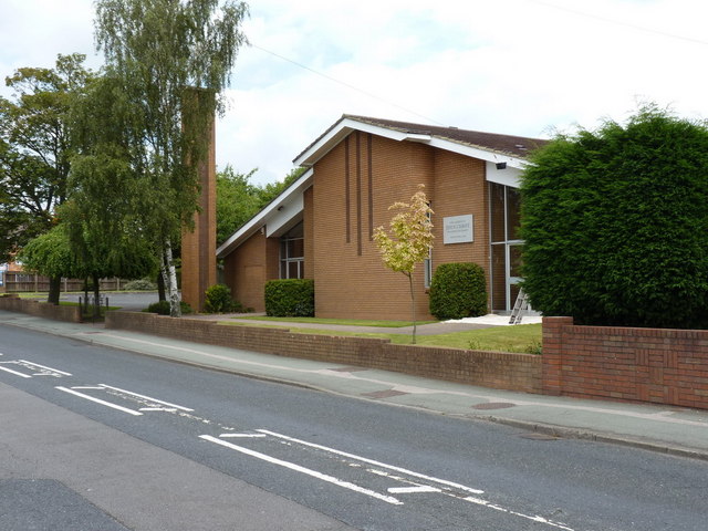
The church of Jesus Christ of the Latter Day Saints, Linthouse Lane
Weather for this location
Loading local forecast…
Nearby places
Useful places within 5 km
Own or manage this place?
Claim this listing to keep details accurate, add photos, and highlight what makes it special — free.
Claim this pageHow was your visit?
How useful was the information on this page?
id: 58144bf3-8e48-4a38-ad10-9a5e04112267