Lacoma
Plan your visit
Getting here
51.18641, -3.72870
Visiting this summer
Seasonal nature notes and what to look for now
Visiting this summer
Seasonal nature notes and what to look for now
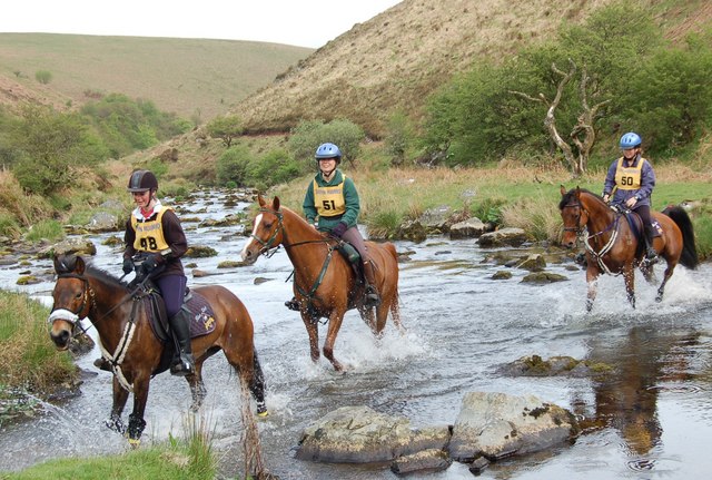
- 🐦52+ species recorded in this area — summer evenings are best for activity; watch for Dipper and Whinchat
- ✦Historic character is a year-round quality here — summer brings its own atmosphere to the setting
- 🐕Dogs welcome — bring water in summer; the site has enough space to find shade on hot days
🌤️ Visiting this summer
- 🐦52+ species recorded in this area — summer evenings are best for activity; watch for Dipper and Whinchat
- ✦Historic character is a year-round quality here — summer brings its own atmosphere to the setting
- 🐕Dogs welcome — bring water in summer; the site has enough space to find shade on hot days
Good to know
- 🐕Dogs welcome
Best for
Bird watching
Very strong match
Birds — Dipper, Whinchat, Grey Heron +49 more · last seen 2025; Upland heathland — red grouse, merlin and short-eared owl
Wildlife
Strong match
Birds — Dipper, Whinchat, Grey Heron +49 more · last seen 2025; Upland heathland priority habitat
Heritage
Strong match
Historic site with public access
Mushroom foraging
Strong match
Fungi — Oak Moss, Parmeliella parvula, Graphis elegans +16 more · last seen 2015
Insect spotting
Strong match
Insects — Meadow Brown, Small Heath, Green-veined White +36 more · last seen 2025
Seasonal nature
Strong match
Plants — Lesser Twayblade, Bell Heather, Heath Bedstraw +164 more · last seen 2020
Trails nearby
Within roughly 5 km🚶Walking
11 signed routes nearby · 1 public path nearby
Signed route nearbyPublic paths
Walking
Two Moors WayWalking route
Tarka TrailWalking route
Countisbury circular walk via Winston's PathWalking route2 km
Watersmeet to Ash Bridge circular walkWalking route3.5 km
Countisbury figure of eight walkWalking route4.8 km
🚴Cycling
7 signed routes nearby
Signed route nearby
Cycling
Regional Route 51Cycling route
NCN 3 to NCN 51 LinkCycling route
N/ACycling route10.7 km
N/ACycling route3.7 km
N/ACycling route1.4 km
N/ACycling route131 m
🐴Horse riding
3 public paths nearby
Public paths
Horse riding
No named routes yet. Public paths are shown on the map.
Wildlife to spot
Photos
Weather for this location
Loading local forecast…
Nearby places
Useful places within 5 km