Insects — Firebug, Acorn Weevil, Grypotes puncticollis +187 more · last seen 2026; Insects — Firebug, Acorn Weevil, Grypotes puncticollis +187 more · last seen 2026
Free
🍂
Seasonal nature
Strong match
Plants — Green Alkanet, Broom, Lady's Bedstraw +47 more · last seen 2026; Plants — Green Alkanet, Broom, Lady's Bedstraw +47 more · last seen 2026
Free
🐶
Dog walks
Strong match
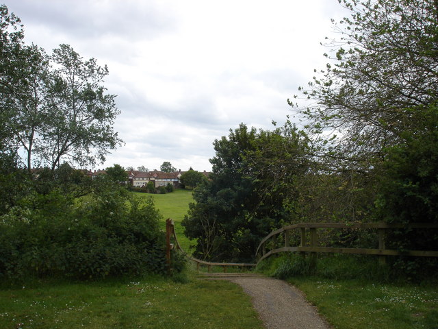
Dogs allowed — public woodland
Free
🌿
Foraging
Good match
Deciduous woodland — fungi, berries and wild garlic; Plants — Common Nettle, Blackthorn, Wild Marjoram +3 more foraging species
Varies
Trails nearby
Within roughly 5 km
🚶
Walking
▾
9 signed routes nearby
Signed route nearby
King Charles III England Coast Path: East: Shotley Gate to Felixstowe FerryWalking route▾
Circular walk, mostly easy walking on grassy and sandy paths. Steps along the route and one steep slope to descend between points 4 and 5. Be aware of high tides along the foreshore at point 6, where an alternate path is recommended when the route is impa
Named routeLength 3.2 kmDuration 01:30Round tripLocal walking route
Sandlings WalkWalking route89 km▾
Southwold to Rushmere Heath on the outskirts of Ipswich
Named routeLength 89 kmRegional walking route
Stour & Orwell WalkWalking route▾
Named routeRegional walking route
Sandlings Walk (St Augustine's route)Walking route▾
Named routeRegional walking route
🚴
Cycling
▾
193 signed routes nearby
Signed route nearby
NCN 51Cycling route▾
Named routeRef 51National Cycle Network
Route 2Cycling route▾
Named routeRef 2Local cycle route
2ACycling route▾
Named routeLocal cycle route
Route 10BCycling route▾
Named routeRef 10BLocal cycle route
South Suffolk Route BCycling route▾
Named routeRef BRegional cycle route
Alton Water LoopCycling route▾
Named routeLocal cycle route
🐴
Horse riding
▾
2 public paths nearby
Public paths
Orwell Quayrestricted byway · 185 m▾
Public pathrestricted bywayLength 185 mPath type: unclassified
Orwell Quayrestricted byway · 383 m▾
Public pathrestricted bywayLength 383 mSurface paving_stonesPath type: pedestrian