🐦53+ species recorded in this area — summer evenings are best for activity; watch for Meadow Pipit and Carrion Crow
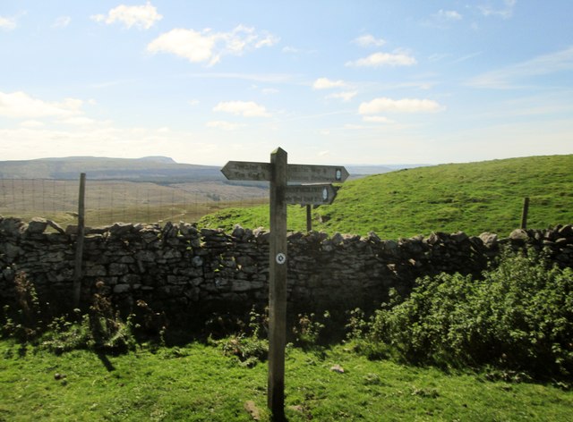
✦Historic character is a year-round quality here — summer brings its own atmosphere to the setting
🐕Dogs welcome — bring water in summer; the site has enough space to find shade on hot days
🌤️ Visiting this summer
🐦53+ species recorded in this area — summer evenings are best for activity; watch for Meadow Pipit and Carrion Crow
✦Historic character is a year-round quality here — summer brings its own atmosphere to the setting
🐕Dogs welcome — bring water in summer; the site has enough space to find shade on hot days
Good to know
🐕Dogs welcome
Best for
9 activities
🦅
Bird watching
Very strong match
Birds — Meadow Pipit, Carrion Crow, Skylark +50 more · last seen 2025; Blanket bog — golden plover, curlew, dunlin and merlin
Free
🦉
Wildlife
Strong match
Birds — Meadow Pipit, Carrion Crow, Skylark +50 more · last seen 2025; Blanket bog priority habitat
Free
✦
Heritage
Strong match
Historic site with public access
Free
🍂
Seasonal nature
Strong match
Plants — Bilberry, Hare's-tail Cottongrass, Mossy Saxifrage +148 more · last seen 2022
Free
🦋
Insect spotting
Strong match
Insects — Small Heath, Green-veined White, Bilberry Bumblebee +10 more · last seen 2025
Free
🥾
Hiking
Strong match
Named hiking route nearby: Pennine Way (Horton in Ribblesdale to Hawes); Named hiking route nearby: Pennine Way (Horton in Ribblesdale to Hawes)
Free
Trails nearby
Within roughly 5 km
🚶
Walking
▾
5 signed routes nearby
Signed route nearby
Pennine Way (Horton in Ribblesdale to Hawes)Walking route▾
Named routeNational walking route
Three Peaks WalkWalking route▾
Named routeRegional walking route
Dales WayWalking route129 km▾
Named routeLength 129 kmRegional walking route
Ribble WayWalking route114 km▾
The Ribble Way follows the valley of the River Ribble from the mouth to the source near to the Pennine Way National Trail on Gayle Moor.
Named routeLength 114 kmRegional walking route
Horse Head Moor and Deepdale walk, Upper WharfdaleWalking route11 km▾
A strenuous hilly walk with views across the Three Peaks. This circular trail tackles steep climbs, crossing moorland & fells before descending along the River Wharfe. Discover colourful fauna, woodland restoration, kingfishers and other wildlife
Named routeLength 11 kmDuration 02:50-04:00Round tripLocal walking route
🚴
Cycling
▾
1 signed route nearby
Signed route nearby
Yorkshire Dales CyclewayCycling route▾
Named routeRef YDCRegional cycle route
🚵
Mountain biking
▾
1 signed route nearby
Signed route nearby
Great North Trail (Yorkshire Dales)Mountain bike route172.2 km▾
Named routeLength 172.2 km
🐴
Horse riding
▾
3 public paths nearby
Public paths
Cam High Roadbyway open to all traffic · 2.5 km▾
line of old Roman road
Public pathbyway open to all trafficLength 2.5 kmSurface asphaltPath type: unclassified
Cam High Roadrestricted byway · 736 m▾
line of old Roman road
Public pathrestricted bywayLength 736 mSurface compactedPath type: unclassified