Getting here
51.27202, -0.58638
Visiting this summer
Seasonal nature notes and what to look for now
Visiting this summer
Seasonal nature notes and what to look for now
- 🌞Midsummer — early morning visits most comfortable; look for deer fawns in quieter clearings
- ✦Historic character is a year-round quality here — summer brings its own atmosphere to the setting
- 🐕Dogs welcome — bring water in summer; the site has enough space to find shade on hot days
🌤️ Visiting this summer
- 🌞Midsummer — early morning visits most comfortable; look for deer fawns in quieter clearings
- ✦Historic character is a year-round quality here — summer brings its own atmosphere to the setting
- 🐕Dogs welcome — bring water in summer; the site has enough space to find shade on hot days
Good to know
- £Free to visit — no entry charge
- 🐕Dogs welcome
Best for
Wildlife
Very strong match
Multi-group wildlife — Amphibians, Birds, Mammals, Reptiles; Multi-group wildlife — Amphibians, Birds, Mammals, Reptiles
Bird watching
Very strong match
Birds — Carrion Crow, Robin, Woodpigeon +63 more · last seen 2025; Birds — Carrion Crow, Robin, Woodpigeon +63 more · last seen 2025
Heritage
Strong match
Historic site with public access
Insect spotting
Strong match
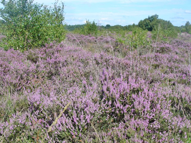
Lowland heathland — silver-studded blue and heath fritillary butterflies; Insects — Limnephilus lunatus, Glyphotaelius pellucidus, Hydropsyche +117 more · last seen 2026
Dog walks
Good match
Dogs allowed with public access
Foraging
Good match
Deciduous woodland — fungi, berries and wild garlic
Trails nearby
Within roughly 5 km🚶Walking
10 signed routes nearby · 16 public paths nearby
Signed route nearbyPublic paths
Walking
The Fox WayWalking route
Guildford Nature TrailWalking route
Scholar's TrailWalking route
Wey-South PathWalking route
follows the river Wey and the (partly disused) Wey & Arun canal
Papercourt Lock to Triggs Lock Walk, River Wey NavigationsWalking route9.6 km
Starting from Papercourt, this walk is based in Send, where the River Wey Navigations has its navigation workshops. On this flat route you'll find locks from the 1760s and ponds and meadows that are important for the local wildlife. Flat & easy walking.
🚴Cycling
83 signed routes nearby
Signed route nearby
Cycling
Neptune TrailCycling route
Mars TrailCycling route
Phobos TrailCycling route
Route 223Cycling route
Hyperion TrailCycling route
Earth TrailCycling route
🚵Mountain biking
3 signed routes nearby
Signed route nearby
Mountain biking
Basingstoke Canal TowpathMountain bike route
Christmas Pie TrailMountain bike route13.7 km
leisure route from East Farnham to northwest Guildford
Cobra KaiMountain bike route
🐴Horse riding
12 public paths nearby
Public paths
Horse riding
Whitmoor Commonbridleway · 247 m
Whitmoor Commonbridleway · 447 m
Wildlife to spot
Photos
Weather for this location
Loading local forecast…
Nearby places
Useful places within 5 km
Own or manage this place?
Claim this listing to keep details accurate, add photos, and highlight what makes it special — free.
Claim this pageHow was your visit?
How useful was the information on this page?
id: 98ffabd4-b25f-43fe-bf24-425ec421e304