Plan your visit
Getting here
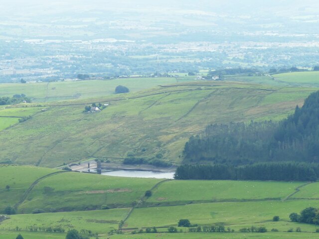
53.85585, -2.28117
Visiting this summer
Seasonal nature notes and what to look for now
Visiting this summer
Seasonal nature notes and what to look for now
- ☀️June — long evenings and clear skies; one of the most rewarding months for a late visit
- 🌿Foraging is at its best in summer here
- 🐕Dogs welcome — bring water in summer; the site has enough space to find shade on hot days
🌤️ Visiting this summer
- ☀️June — long evenings and clear skies; one of the most rewarding months for a late visit
- 🌿Foraging is at its best in summer here
- 🐕Dogs welcome — bring water in summer; the site has enough space to find shade on hot days
Good to know
- £Free to visit — no entry charge
- 🐕Dogs welcome
Best for
Wildlife
Very strong match
Multi-group wildlife — Amphibians, Birds, Mammals, Reptiles; Multi-group wildlife — Amphibians, Birds, Mammals, Reptiles
Bird watching
Very strong match
Birds — Carrion Crow, Meadow Pipit, Skylark +77 more · last seen 2025; Birds — Carrion Crow, Meadow Pipit, Skylark +77 more · last seen 2025
Insect spotting
Strong match
Insects — Sericostoma personatum, Hydropsyche siltalai, Odontocerum albicorne +52 more · last seen 2025; Insects — Sericostoma personatum, Hydropsyche siltalai, Odontocerum albicorne +52 more · last seen 2025
Seasonal nature
Strong match
Plants — Bilberry, Wavy Hair-Grass, Hare's-tail Cottongrass +81 more · last seen 2025; Plants — Bilberry, Wavy Hair-Grass, Hare's-tail Cottongrass +81 more · last seen 2025
Foraging
Strong match
Plants — Bilberry, Crowberry agg., Hogweed +9 more foraging species
Dog walks
Good match
Dogs allowed with public access
Trails nearby
Within roughly 5 km🚶Walking
5 signed routes nearby · 51 public paths nearby
Signed route nearbyPublic paths
Walking
Ribble WayWalking route114 km
The Ribble Way follows the valley of the River Ribble from the mouth to the source near to the Pennine Way National Trail on Gayle Moor.
Bronte WayWalking route71 km
Pendle WayWalking route
Burnley WayWalking route
The Ribble Valley Jubilee TrailWalking route105 km
A new 65-mile circular hiking route through the scenic rolling countryside and spectacular uplands of the Ribble Valley and Forest of Bowland.
🚴Cycling
19 signed routes nearby
Signed route nearby
Cycling
Pennine CyclewayCycling route
Lancashire Cycleway (Southern Loop)Cycling route
Pendle Water BridlewayCycling route
Main RouteCycling route734 m
N/ACycling route666 m
N/ACycling route99 m
🚵Mountain biking
1 signed route nearby
Signed route nearby
Mountain biking
Great North Trail (Yorkshire Dales)Mountain bike route172.2 km
🐴Horse riding
3 public paths nearby
Public paths
Horse riding
Barley Greenbridleway · 92 m
Wildlife to spot
Photos
Weather for this location
Loading local forecast…
Nearby places
Useful places within 5 km
How was your visit?
How useful was the information on this page?
id: ae55ac0a-7abf-4e4f-b6c5-c3e9145a60ba