Plan your visit
Getting here
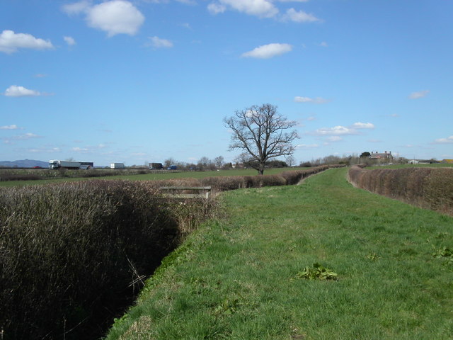
51.77505, -2.30831
Visiting this summer
Seasonal nature notes and what to look for now
Visiting this summer
Seasonal nature notes and what to look for now
- 🐦75+ species recorded in this area — summer evenings are best for activity; watch for Woodpigeon and Robin
- ✦Historic character is a year-round quality here — summer brings its own atmosphere to the setting
- 🐕Dogs welcome — bring water in summer; the site has enough space to find shade on hot days
🌤️ Visiting this summer
- 🐦75+ species recorded in this area — summer evenings are best for activity; watch for Woodpigeon and Robin
- ✦Historic character is a year-round quality here — summer brings its own atmosphere to the setting
- 🐕Dogs welcome — bring water in summer; the site has enough space to find shade on hot days
Good to know
- 🐕Dogs welcome
Best for
Bird watching
Very strong match
Birds — Woodpigeon, Robin, Jackdaw +72 more · last seen 2025
Heritage
Strong match
Historic site with public access
Wildlife
Strong match
Birds — Woodpigeon, Robin, Jackdaw +72 more · last seen 2025
Insect spotting
Strong match
Insects — Azure Damselfly, Dark-edged Bee-fly, Green Shieldbug +34 more · last seen 2026
Dog walks
Good match
Dogs allowed with public access
Historic gardens
Good match
Historic site with public access
Trails nearby
Within roughly 5 km🚶Walking
8 signed routes nearby · 1 public path nearby
Signed route nearbyPublic paths
Walking
Cotswold WayWalking route164 km
Glevum WayWalking route42 km
A circular path around Gloucester passing through a varied landscape of river plain and limestone hillsides
Walk Around Stroud (The WAS Way)Walking route
MST27Walking route
Cotswold Way (Selsley Common route)Walking route
Alternative (longer and tougher, but more scenic) route from Ryeford to just south of Kings Stanley, over Selsley Common.
🚴Cycling
68 signed routes nearby
Signed route nearby
Cycling
Mercian WayCycling route
Route 41Cycling route
Mercian Way (Stroud branch)Cycling route
Mercian Way (alternative)Cycling route
Main RouteCycling route817 m
Main RouteCycling route1.6 km
🐴Horse riding
2 public paths nearby
Public paths
Horse riding
EST16bridleway · 1.7 km
EST16bridleway · 377 m
Wildlife to spot
Photos
Weather for this location
Loading local forecast…
Nearby places
Useful places within 5 km