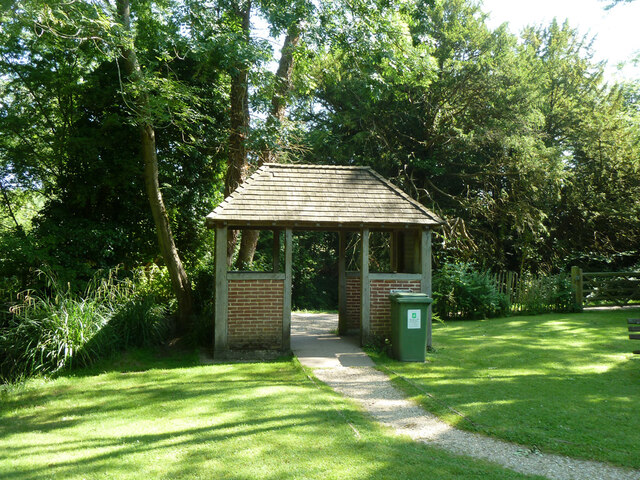
Memorial Garden
Plan your visit
Getting here
51.09419, -1.16622
Visiting this summer
Seasonal nature notes and what to look for now
Visiting this summer
Seasonal nature notes and what to look for now
- 🐦58+ species recorded in this area — summer evenings are best for activity; watch for Mute Swan and Cetti's Warbler
- 🐕Early mornings are best for dog walks in summer — visit before 9am to avoid the heat and find quieter trails
- 🅿️Parking 383m away — 5 car parks within reach
🌤️ Visiting this summer
- 🐦58+ species recorded in this area — summer evenings are best for activity; watch for Mute Swan and Cetti's Warbler
- 🐕Early mornings are best for dog walks in summer — visit before 9am to avoid the heat and find quieter trails
- 🅿️Parking 383m away — 5 car parks within reach
Good to know
- £Free to visit — no entry charge
- 🐕Dogs welcome
Best for
Bird watching
Very strong match
Birds — Mute Swan, Cetti's Warbler, Swallow +55 more · last seen 2026; Deciduous woodland — woodpeckers, warblers and woodland birds
Wildlife
Strong match
Birds — Mute Swan, Cetti's Warbler, Swallow +55 more · last seen 2026; Deciduous woodland priority habitat
Dog walks
Strong match
Dogs allowed with public access
Cycling
Good match
Named cycling route nearby: National Cycle Route 23
Foraging
Good match
Deciduous woodland — fungi, berries and wild garlic
Hiking
Good match
Named hiking route nearby: St James' Way; Named hiking route nearby: St James' Way
Trails nearby
Within roughly 5 km🚶Walking
9 signed routes nearby · 19 public paths nearby
Signed route nearbyPublic paths
Walking
Wayfarers WalkWalking route
Walbury Hill, Berkshire to Emsworth, Hampshire
Allan King WayWalking route
Itchen WayWalking route
St Swithun's WayWalking route
South Downs WayWalking route160 km
Mill Hillpublic footpath · 20 m
Ladywell Lanepublic footpath · 129 m
🚴Cycling
13 signed routes nearby
Signed route nearby
Cycling
National Cycle Route 23Cycling route
National BywayCycling route
National Byway (Winchester loop)Cycling route
Main RouteCycling route8.1 km
Main RouteCycling route466 m
Main RouteCycling route599 m
🚵Mountain biking
8 signed routes nearby
Signed route nearby
Mountain biking
South Downs WayMountain bike route
Candovers Off Road Cycle TrailMountain bike route
Winchester Off Road Cycle TrailMountain bike route
Micheldever Station Off Road Cycle TrailMountain bike route
King Alfred's WayMountain bike route
King Alfreds Way is 350km (220 miles) off road route designed to be ridden clockwise. It starts & ends in Winchester. It is suitable for gravel or cross-country bikes.
The Ox Drove mountain bike routeMountain bike route
🐴Horse riding
4 public paths nearby
Public paths
Horse riding
Pinglestone Farm Lanerestricted byway · 60 m
Pinglestone Farm Lanerestricted byway · 26 m
Pinglestone Farm Lanerestricted byway · 9 m
Wildlife to spot
Photos
Weather for this location
Loading local forecast…
Nearby places
Useful places within 5 km