Plan your visit
Getting here
51.90431, -1.23805
Visiting this summer
Seasonal nature notes and what to look for now
Visiting this summer
Seasonal nature notes and what to look for now
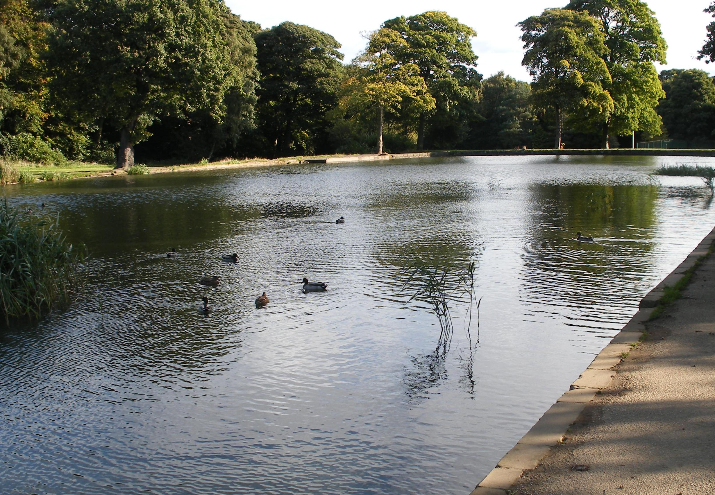
- 🐦76+ species recorded in this area — summer evenings are best for activity; watch for Pheasant and Woodpigeon
- ✦Historic character is a year-round quality here — summer brings its own atmosphere to the setting
- 🐕Dogs welcome — bring water in summer; the site has enough space to find shade on hot days
🌤️ Visiting this summer
- 🐦76+ species recorded in this area — summer evenings are best for activity; watch for Pheasant and Woodpigeon
- ✦Historic character is a year-round quality here — summer brings its own atmosphere to the setting
- 🐕Dogs welcome — bring water in summer; the site has enough space to find shade on hot days
Good to know
- 🐕Dogs welcome
Best for
Bird watching
Very strong match
Birds — Pheasant, Woodpigeon, Blackbird +73 more · last seen 2025; Deciduous woodland — woodpeckers, warblers and woodland birds
Heritage
Very strong match
Grade I listed building: MIDDLETON PARK; Historic site with public access
Wildlife
Strong match
Birds — Pheasant, Woodpigeon, Blackbird +73 more · last seen 2025; Deciduous woodland priority habitat
Insect spotting
Strong match
Insects — Orange-tip, Black Clock, Small White +39 more · last seen 2024
Seasonal nature
Strong match
Plants — Tufted Vetch, Large-leaved Lime, Oxeye Daisy +179 more · last seen 2018
Dog walks
Good match
Dogs allowed with public access
Trails nearby
Within roughly 5 km🚶Walking
5 signed routes nearby · 2 public paths nearby
Signed route nearbyPublic paths
Walking
Oxfordshire WayWalking route110 km
a traverse of Oxfordshire from the Cotswolds to the Chilterns
Oxford Canal WalkWalking route
The Roman WayWalking route274.5 km
Bicester West Health RouteWalking route5 km
European walking route E2 west, UK, South East EnglandWalking route
Westroute: Stranraer (UK) - Birminhgham (UK) - Calais (FR) - Zoersel (BE) / Eastroute: Stranraer (UK) - Harwich (UK) - Rotterdam (NL) - Zoersel (BE) / Both Routes: Zoersel (BE) - Maastrich (NL) - Luxembourg (LUX) - Lake Geneva (CH) - Nice (FR)
🚴Cycling
25 signed routes nearby
Signed route nearby
Cycling
NCN 51Cycling route
BR1Cycling route
BR22Cycling route
BR6Cycling route
BR4Cycling route
BR21Cycling route
🐴Horse riding
8 public paths nearby
Public paths
Horse riding
Aves Ditchrestricted byway · 1 km
Aves Ditchrestricted byway · 860 m
Aves Ditchrestricted byway · 65 m
Wildlife to spot
Photos
Weather for this location
Loading local forecast…
Nearby places
Useful places within 5 km