Birds — Moorhen, Mallard, Robin +65 more · last seen 2026; Birds — Moorhen, Mallard, Robin +65 more · last seen 2026
Free
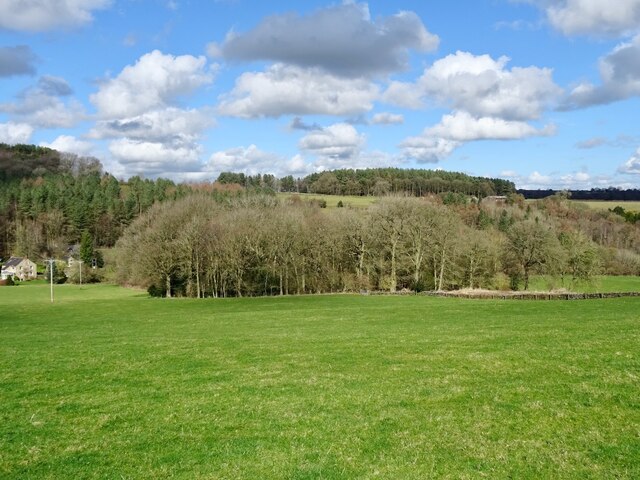
🍂
Seasonal nature
Strong match
Plants — Butterbur, Hart's-Tongue, Herb-Robert +68 more · last seen 2026; Plants — Butterbur, Hart's-Tongue, Herb-Robert +68 more · last seen 2026
Free
🐶
Dog walks
Strong match
Dogs allowed — public woodland
Free
🌿
Foraging
Strong match
Plants — Meadowsweet, White Dead-nettle, Guelder-rose +7 more foraging species; Deciduous woodland — fungi, berries and wild garlic
Varies
🦋
Insect spotting
Strong match
Insects — Small White, Large White, Speckled Wood +46 more · last seen 2025; Insects — Small White, Large White, Speckled Wood +46 more · last seen 2025
Free
Trails nearby
Within roughly 5 km
🚶
Walking
▾
12 signed routes nearby · 34 public paths nearby
Signed route nearbyPublic paths
Midshires WayWalking route370 km▾
Multi-use trail links the Ridgeway National Trail with the Trans Pennine Trail
Named routeLength 370 kmRegional walking route
Limestone WayWalking route74 km▾
Castleton to Rocester
Named routeLength 74 kmPoint-to-pointRegional walking route
High Peak TrailWalking route27 km▾
Named routeLength 27 kmRegional walking route
Derwent Valley Heritage WayWalking route89 km▾
Named routeLength 89 kmRegional walking route
Amber Valley Routeway Walk 14Walking route▾
Named routeLocal walking route
Blundestone Lanepublic footpath · 95 m▾
Public pathpublic footpathLength 95 mSurface gravelPath type: service
Well Lanepublic footpath · 404 m▾
Public pathpublic footpathLength 404 mSurface gravelPath type: service
Blundestone Lanepublic footpath · 186 m▾
Public pathpublic footpathLength 186 mSurface gravelPath type: service
🚴
Cycling
▾
4 signed routes nearby
Signed route nearby
Route 54Cycling route▾
Named routeRef 54National Cycle Network
Main RouteCycling route97 m▾
Named routeRef 54Length 97 mNational Cycle NetworkTraffic-freeSurface unsealedfirm
Main RouteCycling route2.6 km▾
Named routeRef 54Length 2.6 kmNational Cycle NetworkTraffic-freeSurface unsealedfirm
Main RouteCycling route2.5 km▾
Named routeRef 54Length 2.5 kmNational Cycle NetworkTraffic-freeSurface unsealedfirm
🚵
Mountain biking
▾
2 signed routes nearby
Signed route nearby
High Peak TrailMountain bike route27 km▾
Named routeRef High Peak TrailLength 27 kmPoint-to-pointLocal cycle route
Great North Trail (Peak District and South Pennines)Mountain bike route130.4 km▾
Named routeLength 130.4 kmNational Cycle Network
🐴
Horse riding
▾
2 public paths nearby
Public paths
No named routes yet. Public paths are shown on the map.