Getting here
51.43304, -2.38288
Visiting this summer
Seasonal nature notes and what to look for now
Visiting this summer
Seasonal nature notes and what to look for now
- 🌞Midsummer — early morning visits most comfortable; look for deer fawns in quieter clearings
- 🐕Early mornings are best for dog walks in summer — visit before 9am to avoid the heat and find quieter trails
- 📍Open access throughout summer — no booking required
🌤️ Visiting this summer
- 🌞Midsummer — early morning visits most comfortable; look for deer fawns in quieter clearings
- 🐕Early mornings are best for dog walks in summer — visit before 9am to avoid the heat and find quieter trails
- 📍Open access throughout summer — no booking required
Good to know
- £Free to visit — no entry charge
- 🐕Dogs welcome
Best for
Insect spotting
Strong match
Chalk and limestone grassland — chalkhill blue, adonis blue and rare moths
Dog walks
Strong match
Dogs allowed — public woodland
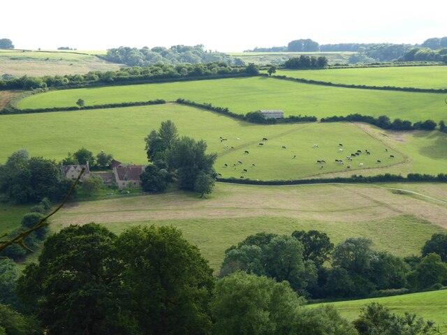
Wildlife
Strong match
Deciduous woodland priority habitat
Bird watching
Strong match
Deciduous woodland — woodpeckers, warblers and woodland birds
Horse riding
Strong match
Horse riding listed as facility
Hiking
Good match
Named hiking route nearby: Cotswold Way
Trails nearby
Within roughly 5 km🚶Walking
7 signed routes nearby · 20 public paths nearby
Signed route nearbyPublic paths
Walking
Monarch's WayWalking route990 km
approximate route of Charles II's escape
Cotswold WayWalking route164 km
Journey of Discovery trail, Dyrham ParkWalking route3.2 km
Ramble through the past on this family-friendly trail through Dyrham's parkland, which is steeped in history. For younger walkers, spot carved wooden animals along the way, before ending at Old Lodge. Terrain is steep & uneven in places & seasonally muddy
Kennet and Avon Canal TrailWalking route140 km
Rivers linked by a canal. The name refers to the entire navigable length. From Bristol the way is the Avon. The canal is from Bath to Newbury. From there to Reading the way is the Kennet. 53 locks to Summit Pound (150 m asl) and 54 down to Reading.
Bath Skyline WalkWalking route9.6 km
An elevated clockwise circular with panoramic views of the Bath landscape. The contrast of the city, so close to this rural haven, has earned the area World Heritage Site status. Roads, surfaced paths, steep hills, a rocky uneven section, steps & a stile.
🚴Cycling
30 signed routes nearby
Signed route nearby
Cycling
Avon CyclewayCycling route
Bristol & Bath Railway PathCycling route
EuroVelo 2 - Capitals Route - part United Kingdom 4Cycling route
Bath Two Tunnels CircuitCycling route
EuroVelo 2 - Capitals Route - part United Kingdom 3Cycling route
National Cycle Network Route 4Cycling route
🐴Horse riding
5 public paths nearby
Public paths
Horse riding
Hall Lanerestricted byway · 35 m
Hall Lanerestricted byway · 503 m
Hall Lanerestricted byway · 307 m
Wildlife to spot
Photos
Weather for this location
Loading local forecast…
Nearby places
Useful places within 5 km
Own or manage this place?
Claim this listing to keep details accurate, add photos, and highlight what makes it special — free.
Claim this pageHow was your visit?
How useful was the information on this page?
id: affe64b0-3b02-4ade-b7fd-ec023e9769a4