Getting here
52.64337, -2.46154
Visiting this summer
Seasonal nature notes and what to look for now
Visiting this summer
Seasonal nature notes and what to look for now
- 🌞Midsummer — early morning visits most comfortable; look for deer fawns in quieter clearings
- 🐕Early mornings are best for dog walks in summer — visit before 9am to avoid the heat and find quieter trails
- 🅿️Parking 94m away — 10 car parks within reach
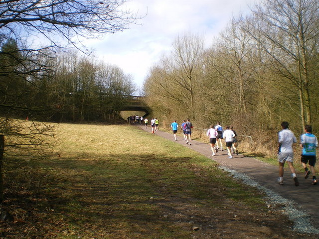
🌤️ Visiting this summer
- 🌞Midsummer — early morning visits most comfortable; look for deer fawns in quieter clearings
- 🐕Early mornings are best for dog walks in summer — visit before 9am to avoid the heat and find quieter trails
- 🅿️Parking 94m away — 10 car parks within reach
Good to know
- £Free to visit — no entry charge
- 🐕Dogs welcome
Best for
Dog walks
Strong match
Dogs allowed — public woodland
Forest walks
Good match
Public woodland
Wildlife
Good match
Native broadleaved woodland
Cycling
Moderate match
Named cycling route nearby: Telford Strategic Cycling Network
Hiking
Moderate match
Named hiking route nearby: Telford T50
Trails nearby
Within roughly 5 km🚶Walking
11 signed routes nearby
Signed route nearby
Walking
Monarch's WayWalking route990 km
approximate route of Charles II's escape
Telford T50Walking route50 km
The T50 Trail links parks, woods, nature reserves, and historic sites across Telford, starting and ending at Town Park. It’s easily accessible from estates and bus routes, with key points at Ironbridge, The Wrekin, Lilleshall Hill, and Granville Park.
South Telford WayWalking route
South Telford Heritage TrailWalking route
George Maw Trail, Benthall HallWalking route6.1 km
This can be muddy in wet weather and winter months, so sensible walking footwear is advised. This route includes stiles, lots of steps and some steep climbs. The parkland in front of Benthall Hall contains cattle at certain times of year.
🚴Cycling
98 signed routes nearby
Signed route nearby
Cycling
Mercian WayCycling route
Route NCR55Cycling route
Silkin WayCycling route
Cycle route that follows disused railway lines and canal beds. The path was opened in 1977 by Prime Minister James Callaghan, and was named after Lord Silkin; who was a parliamentarian responsible for creating New Towns including Telford.
Around the WrekinCycling route
Part of Telford Strategic Cycle Routes
Route NCR45Cycling route
Telford Strategic Cycling NetworkCycling route
Wildlife to spot
Photos
Weather for this location
Loading local forecast…
Nearby places
Useful places within 5 km
Own or manage this place?
Claim this listing to keep details accurate, add photos, and highlight what makes it special — free.
Claim this pageHow was your visit?
How useful was the information on this page?
id: 668b36b0-c6dc-4f30-a597-3ba8f0420f30