Plan your visit
Getting here
52.97410, -2.29320
Visiting this summer
Seasonal nature notes and what to look for now
Visiting this summer
Seasonal nature notes and what to look for now
- 🌞Midsummer — early morning visits most comfortable; look for deer fawns in quieter clearings
- 🌿Foraging is at its best in summer here
- 🐕Dogs welcome — bring water in summer; the site has enough space to find shade on hot days
🌤️ Visiting this summer
- 🌞Midsummer — early morning visits most comfortable; look for deer fawns in quieter clearings
- 🌿Foraging is at its best in summer here
- 🐕Dogs welcome — bring water in summer; the site has enough space to find shade on hot days
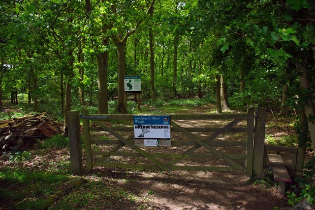
Good to know
- £Free to visit — no entry charge
- 🐕Dogs welcome
- 🌿Ancient woodland — rare wildlife habitat
Best for
Wildlife
Very strong match
Multi-group wildlife — Birds, Mammals, Reptiles; Multi-group wildlife — Birds, Mammals, Reptiles
Bird watching
Very strong match
Birds — Blue Tit, Robin, Wren +74 more · last seen 2025; Birds — Blue Tit, Robin, Wren +74 more · last seen 2025
Foraging
Strong match
Plants — Bramble, Common Nettle, Hawthorn +12 more foraging species; Deciduous woodland — fungi, berries and wild garlic
Seasonal nature
Strong match
Plants — Holly, Bramble, Common Nettle +63 more · last seen 2025; Plants — Holly, Bramble, Common Nettle +63 more · last seen 2025
Heritage
Good match
Ancient woodland — historic landscape
Insect spotting
Good match
Insects — Mystacides longicornis · last seen 2025; Insects — Mystacides longicornis · last seen 2025
Trails nearby
Within roughly 5 km🚶Walking
7 signed routes nearby · 1 public path nearby
Signed route nearbyPublic paths
Walking
Two Saints WayWalking route148 km
Two Saints Way - Chester Cathedral to/from Lichfield Cathedral. In the late Middle Ages a steady stream of pilgrims walked this way – both housing shrines to two game-changing Mercian saints in the 7th century - St Werburgh and St Chad
Trent Valley WayWalking route304 km
Newcastle WayWalking route40 km
Market Drayton to Mow Cop
Stone Circles ChallengeWalking route
Hanchurch Walk (Blue)Walking route
🚴Cycling
9 signed routes nearby
Signed route nearby
Cycling
Silverdale GreenwayCycling route
Main RouteCycling route29 m
Main RouteCycling route43 m
Main RouteCycling route41 m
Main RouteCycling route336 m
Main RouteCycling route2.4 km
Wildlife to spot
Photos
Weather for this location
Loading local forecast…
Nearby places
Useful places within 5 km
Own or manage this place?
Claim this listing to keep details accurate, add photos, and highlight what makes it special — free.
Claim this pageHow was your visit?
How useful was the information on this page?
id: 13c59bf4-6c3a-4fb2-a80a-f774eab514e5