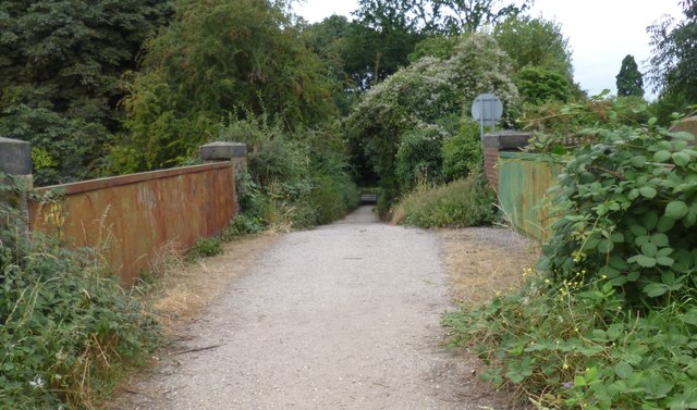
Moor Lane Allotment Gardens
Getting here
51.43960, -0.51668
Visiting this summer
Seasonal nature notes and what to look for now
Visiting this summer
Seasonal nature notes and what to look for now
- 🌞Midsummer — early morning visits most comfortable; look for deer fawns in quieter clearings
- 🐕Early mornings are best for dog walks in summer — visit before 9am to avoid the heat and find quieter trails
- 🅿️Parking 203m away — 20 car parks within reach
🌤️ Visiting this summer
- 🌞Midsummer — early morning visits most comfortable; look for deer fawns in quieter clearings
- 🐕Early mornings are best for dog walks in summer — visit before 9am to avoid the heat and find quieter trails
- 🅿️Parking 203m away — 20 car parks within reach
Good to know
- 🐕Dogs welcome
Best for
Wildlife
Very strong match
Multi-group wildlife — Amphibians, Birds, Mammals; Multi-group wildlife — Amphibians, Birds, Mammals
Bird watching
Very strong match
Birds — Magpie, Black-headed Gull, Cormorant +89 more · last seen 2026; Birds — Magpie, Black-headed Gull, Cormorant +89 more · last seen 2026
Dog walks
Good match
Dogs allowed with public access
Insect spotting
Good match
Insects — 7-spot Ladybird, Southern Green Shieldbug, Red-legged Shieldbug +14 more · last seen 2026; Insects — 7-spot Ladybird, Southern Green Shieldbug, Red-legged Shieldbug +14 more · last seen 2026
Hiking
Moderate match
Named hiking route nearby: Colne Valley Way
Family friendly
Moderate match
Allotments
Trails nearby
Within roughly 5 km🚶Walking
11 signed routes nearby · 17 public paths nearby
Signed route nearbyPublic paths
Walking
Memorial Route, RunnymedeWalking route3.7 km
This route takes you to all the memorials and artworks at Runnymede, and through the woods to the Commonwealth Airforce Memorial with its lovely views. This route includes some steps and slopes that can be slippery/muddy.
Egham to Runnymede Countryside Circular Walk, RunnymedeWalking route5.9 km
Wander through woodlands, wetlands & open wildflower meadows home to the birthplace of the Magna Carta. This circular takes you round Runnymede nature reserve, Langham Pond & ancient woodlands, which form a SSSI, for their rare species & the wildflowers
Colne Valley TrailWalking route
European walking route E2 west, UK, South East EnglandWalking route
Westroute: Stranraer (UK) - Birminhgham (UK) - Calais (FR) - Zoersel (BE) / Eastroute: Stranraer (UK) - Harwich (UK) - Rotterdam (NL) - Zoersel (BE) / Both Routes: Zoersel (BE) - Maastrich (NL) - Luxembourg (LUX) - Lake Geneva (CH) - Nice (FR)
Accessible Route, RunnymedeWalking route1.5 km
This is an all-weather, accessible, comfrotable route that runs past Runnymede's key monuments and artworks.
🚴Cycling
78 signed routes nearby
Signed route nearby
Cycling
LCN 89Cycling route
LCN 89Cycling route
Spelthorne LCNCycling route
LCN 30Cycling route
Round Berkshire Cycle RouteCycling route
Link to National Route 61Cycling route
Wildlife to spot
Photos
Weather for this location
Loading local forecast…
Nearby places
Useful places within 5 km
Own or manage this place?
Claim this listing to keep details accurate, add photos, and highlight what makes it special — free.
Claim this pageHow was your visit?
How useful was the information on this page?
id: f4762e83-c8d1-4951-be84-dcab5cebd943