Plan your visit
Getting here
54.90221, -1.37988
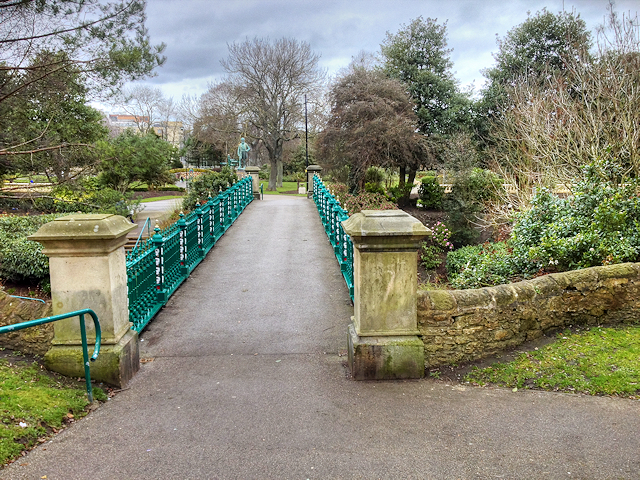
About MOWBRAY PARK
Mowbray Park is a municipal park in the centre of Sunderland, Tyne and Wear, England, located a few hundred yards from the busy thoroughfares of Holmeside and Fawcett Street and bordered by Sunderland Museum and Winter Gardens to the north, Burdon Road to the west, Toward Road to the east and Park Road to the south. The park was voted best in Britain in 2008.
Read more on Wikipedia →Visiting this summer
Seasonal nature notes and what to look for now
Visiting this summer
Seasonal nature notes and what to look for now
- 🐦70+ species recorded in this area — summer evenings are best for activity; watch for Shoveler and Herring Gull
- ✦Historic character is a year-round quality here — summer brings its own atmosphere to the setting
- ☕Al-Huddah — a good base for a longer summer day out
🌤️ Visiting this summer
- 🐦70+ species recorded in this area — summer evenings are best for activity; watch for Shoveler and Herring Gull
- ✦Historic character is a year-round quality here — summer brings its own atmosphere to the setting
- ☕Al-Huddah — a good base for a longer summer day out
Good to know
- 🐕Dogs welcome
Best for
Bird watching
Very strong match
Birds — Shoveler, Herring Gull, Rock Dove +67 more · last seen 2026; Birds — Shoveler, Herring Gull, Rock Dove +67 more · last seen 2026
Wildlife
Very strong match
Multi-group wildlife — Birds, Mammals; Multi-group wildlife — Birds, Mammals
Heritage
Strong match
Historic site
Insect spotting
Good match
Insects — Harlequin Ladybird, Large Willow Aphid, 14-spot Ladybird +2 more · last seen 2025; Insects — Harlequin Ladybird, Large Willow Aphid, 14-spot Ladybird +2 more · last seen 2025
Foraging
Good match
Deciduous woodland — fungi, berries and wild garlic
Easy access
Good match
parking, toilets
Trails nearby
Within roughly 5 km🚶Walking
5 signed routes nearby
Signed route nearby
Walking
Weardale WayWalking route124 km
King Charles III England Coast Path: North Gare to South BentsWalking route
Way of LearningWalking route61 km
King Charles III England Coast Path: South Bents to AmbleWalking route
Bede's WayWalking route19 km
Route linking linking the twin Anglo-Saxon monasteries of St Peter’s in Wearmouth and St Paul’s in Jarrow
🚴Cycling
99 signed routes nearby
Signed route nearby
Cycling
Walney to Wear Cycle RouteCycling route
EuroVelo 12 - North Sea Cycle Route - part United Kingdom 5Cycling route
NCN 1 Tees to TyneCycling route
Route 7Cycling route
Main RouteCycling route55 m
Main RouteCycling route29 m
🚵Mountain biking
1 signed route nearby
Signed route nearby
Mountain biking
Harton Branch RouteMountain bike route
Wildlife to spot
Photos
Weather for this location
Loading local forecast…
Nearby places
Useful places within 5 km
Own or manage this place?
Claim this listing to keep details accurate, add photos, and highlight what makes it special — free.
Claim this pageHow was your visit?
How useful was the information on this page?
id: 8fe09604-8980-4618-b592-dde14ca70426