Plan your visit
Getting here
52.54958, -1.80683
Visiting this summer
Seasonal nature notes and what to look for now
Visiting this summer
Seasonal nature notes and what to look for now
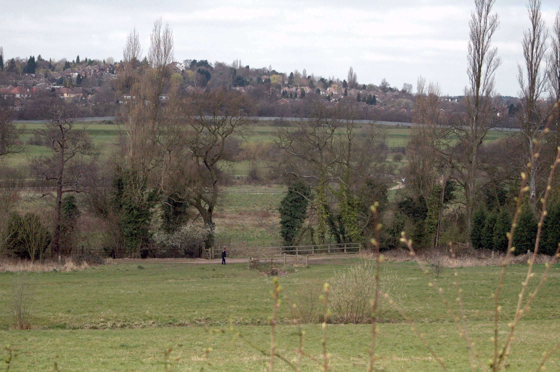
- 🐦77+ species recorded in this area — summer evenings are best for activity; watch for Mallard and Canada Goose
- 🧺Good picnic destination in summer — open space and facilities for a relaxed day out
- 🐕Dogs welcome — bring water in summer; the site has enough space to find shade on hot days
🌤️ Visiting this summer
- 🐦77+ species recorded in this area — summer evenings are best for activity; watch for Mallard and Canada Goose
- 🧺Good picnic destination in summer — open space and facilities for a relaxed day out
- 🐕Dogs welcome — bring water in summer; the site has enough space to find shade on hot days
Good to know
- £Free to visit — no entry charge
- 🐕Dogs welcome
Best for
Ancient woodland
Very strong match
Ancient woodland — continuous woodland since before 1600
Picnic day out
Very strong match
picnic area, car park; Urban park — open green space
Bird watching
Very strong match
Birds — Mallard, Canada Goose, Moorhen +74 more · last seen 2026; Grazing marsh — lapwing, redshank, snipe and wintering wildfowl
Bluebell walks
Very strong match
Ancient woodland — native bluebell habitat
Wildlife
Strong match
Birds — Mallard, Canada Goose, Moorhen +74 more · last seen 2026; Deciduous woodland priority habitat
Seasonal nature
Strong match
Ancient woodland — bluebells, fungi and autumn colour
Trails nearby
Within roughly 5 km🚶Walking
10 signed routes nearby · 46 public paths nearby
Signed route nearbyPublic paths
Walking
Sutton Park Archeology Walk 5: Blackroot BistroWalking route
Most of Sutton Park is a Scheduled Ancient Monument and contains archaeological remains. This trail, one of six in the park, is via an 18th-century racecourse and golf course, medieval deer park, and quarry created for an 18th-century mill pond dam.
Sutton Park Archeology Walk 6: Bracebridge PoolWalking route
Most of Sutton Park is a Scheduled Ancient Monument and contains archaeological remains. This trail, one of six in the park, is via a medieval fish pond, 16th-century wood, WWI military practice trenches, mysterious earthwork, and 19th-century estate.
The Tame Way- Canal RouteWalking route19 km
Explore the views, history and wildlife of the Tame Valley Wetlands. Stretching between Birmingham and Tamworth is an extraordinary hidden landscape on the doorstep of over 1 million people. Sister walk to a river walk also ending at Hopwas. Duration ~5h
Sutton Park Archeology Walk 4: Boldmere GateWalking route
Most of Sutton Park is a Scheduled Ancient Monument and contains archaeological remains. This trail, one of six in the park, is via an 18th-century Mill Pond, 16th-century wood, medieval deer park, hollow way, and medieval fish pond.
Colebridge WayWalking route
Village Waypublic footpath · 133 m
🚴Cycling
130 signed routes nearby
Signed route nearby
Cycling
National Cycle Network Route 533Cycling route
North Birmingham Walking and Cycling RouteCycling route
Route 535 is a small cycle route from National Cycle Route 5 in Birmingham City Centre to Gravelly Hill, which carries on for a short way along the Tame Valley Canal
National Cycle Network Route 534Cycling route
Ward End RouteCycling route
New Hall Valley Cycle RouteCycling route
Connect2Cycling route
🐴Horse riding
2 public paths nearby
Public paths
Horse riding
No named routes yet. Public paths are shown on the map.
Wildlife to spot
Photos
Weather for this location
Loading local forecast…
Nearby places
Useful places within 5 km