Getting here
53.27162, -0.44276
Visiting this summer
Seasonal nature notes and what to look for now
Visiting this summer
Seasonal nature notes and what to look for now
- 🌞Midsummer — early morning visits most comfortable; look for deer fawns in quieter clearings
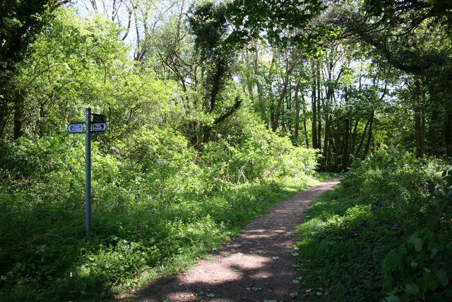
- 🐕Early mornings are best for dog walks in summer — visit before 9am to avoid the heat and find quieter trails
- 🛝Playground 164m away — built-in entertainment for younger visitors alongside the wider site
🌤️ Visiting this summer
- 🌞Midsummer — early morning visits most comfortable; look for deer fawns in quieter clearings
- 🐕Early mornings are best for dog walks in summer — visit before 9am to avoid the heat and find quieter trails
- 🛝Playground 164m away — built-in entertainment for younger visitors alongside the wider site
Good to know
- £Free to visit — no entry charge
- 🐕Dogs welcome
Best for
Wildlife
Very strong match
Multi-group wildlife — Birds, Mammals, Reptiles; Multi-group wildlife — Birds, Mammals, Reptiles
Bird watching
Very strong match
Birds — Barn Owl, Peregrine, Little Egret +52 more · last seen 2025; Birds — Barn Owl, Peregrine, Little Egret +52 more · last seen 2025
Insect spotting
Strong match
Insects — Small White, Small Tortoiseshell, Large White +78 more · last seen 2025; Insects — Small White, Small Tortoiseshell, Large White +78 more · last seen 2025
Seasonal nature
Strong match
Plants — Himalayan Balsam, Common Field-speedwell, White Dead-nettle +57 more · last seen 2026; Plants — Himalayan Balsam, Common Field-speedwell, White Dead-nettle +57 more · last seen 2026
Dog walks
Strong match
Dogs allowed — public woodland
Foraging
Strong match
Plants — White Dead-nettle, Red Dead-nettle, Blackthorn +9 more foraging species; Deciduous woodland — fungi, berries and wild garlic
Trails nearby
Within roughly 5 km🚶Walking
2 signed routes nearby · 27 public paths nearby
Signed route nearbyPublic paths
Walking
Viking Way (Barnetby to Whitwell)Walking route
Stephen Langton TrailWalking route
Main Drivepublic footpath · 228 m
Main Drivepublic footpath · 174 m
Main Drivepublic footpath · 9 m
🚴Cycling
38 signed routes nearby
Signed route nearby
Cycling
Lincoln Eastern Bypass NMU pathCycling route
Route 1Cycling route
NCN 1 Lincoln to Humber
North Hykeham Relief Road / Lincoln Southern Bypass NMU RouteCycling route
Hawthorn Road Cycle PathCycling route
Wragby Road & Bunkers Hill Cycle TrackCycling route
Outer Circle Drive Cycle TrackCycling route
🐴Horse riding
2 public paths nearby
Public paths
Horse riding
Barfields Lanebridleway · 678 m
Barfields Lanebridleway · 758 m
Wildlife to spot
Photos
Weather for this location
Loading local forecast…
Nearby places
Useful places within 5 km
Own or manage this place?
Claim this listing to keep details accurate, add photos, and highlight what makes it special — free.
Claim this pageHow was your visit?
How useful was the information on this page?
id: 6101edcf-a6b9-4d84-a90b-24fdedb142d8