Plan your visit
Getting here
53.04246, -1.61813
Visiting this summer
Seasonal nature notes and what to look for now
Visiting this summer
Seasonal nature notes and what to look for now
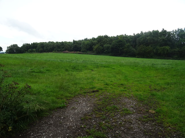
- ☀️June — canopy now fully closed, creating cool dappled shade even on warm days
- 🐕Early mornings are best for dog walks in summer — visit before 9am to avoid the heat and find quieter trails
- 📍Open access throughout summer — no booking required
🌤️ Visiting this summer
- ☀️June — canopy now fully closed, creating cool dappled shade even on warm days
- 🐕Early mornings are best for dog walks in summer — visit before 9am to avoid the heat and find quieter trails
- 📍Open access throughout summer — no booking required
Good to know
- £Free to visit — no entry charge
- 🐕Dogs welcome
Best for
Wildlife
Very strong match
Multi-group wildlife — Birds, Mammals; Multi-group wildlife — Birds, Mammals
Bird watching
Very strong match
Birds — Robin, Mallard, Magpie +78 more · last seen 2025; Birds — Robin, Mallard, Magpie +78 more · last seen 2025
Dog walks
Strong match
Dogs allowed — public woodland
Foraging
Good match
Deciduous woodland — fungi, berries and wild garlic
Forest walks
Good match
Public woodland
Seasonal nature
Good match
Broadleaved woodland — spring blossom and autumn colour
Trails nearby
Within roughly 5 km🚶Walking
7 signed routes nearby · 18 public paths nearby
Signed route nearbyPublic paths
Walking
Limestone WayWalking route74 km
Castleton to Rocester
Eadric's Way (blue)Walking route
Amber Valley Routeway Walk 15Walking route
Eadric's Way (red)Walking route
Royal Shrovetide Challenge Walk (up'ards)Walking route
Field Lanepublic footpath · 844 m
🚴Cycling
16 signed routes nearby
Signed route nearby
Cycling
Route 547Cycling route
Alternative RouteCycling route286 m
Alternative RouteCycling route3.3 km
Alternative RouteCycling route188 m
Alternative RouteCycling route1.4 km
Alternative RouteCycling route79 m
🚵Mountain biking
1 signed route nearby
Signed route nearby
Mountain biking
Carsington Water Cycle RouteMountain bike route
Wildlife to spot
Photos
Weather for this location
Loading local forecast…
Nearby places
Useful places within 5 km
How was your visit?
How useful was the information on this page?
id: 092ba222-5447-43ff-aa39-9bd9a4e6eab9