Getting here
51.30622, -0.74076
Visiting this summer
Seasonal nature notes and what to look for now
Visiting this summer
Seasonal nature notes and what to look for now
- 🌞Midsummer — dragonfly and damselfly activity peaks along water edges
- 🧺Good picnic destination in summer — open space and facilities for a relaxed day out
- 🐕Dogs welcome — bring water in summer; the site has enough space to find shade on hot days
🌤️ Visiting this summer
- 🌞Midsummer — dragonfly and damselfly activity peaks along water edges
- 🧺Good picnic destination in summer — open space and facilities for a relaxed day out
- 🐕Dogs welcome — bring water in summer; the site has enough space to find shade on hot days
Good to know
- £Free to visit — no entry charge
- 🐕Dogs welcome
Best for
Picnic day out
Strong match
picnic area, car park
Waterside walks
Strong match
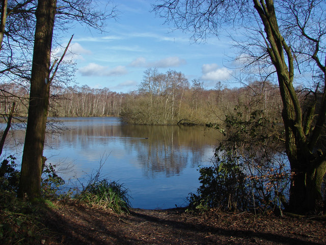
Open water — lake or pond with public access; parking
Wildlife
Strong match
Deciduous woodland priority habitat
Bird watching
Strong match
Deciduous woodland — woodpeckers, warblers and woodland birds
Dog walks
Good match
Dogs allowed with public access
Foraging
Good match
Deciduous woodland — fungi, berries and wild garlic
Trails nearby
Within roughly 5 km🚶Walking
6 signed routes nearby · 5 public paths nearby
Signed route nearbyPublic paths
Walking
Wellesley Green RouteWalking route
Blackwater Valley PathWalking route
Basingstoke CanalWalking route
Cove Brook Greenway, FarnboroughWalking route
Lightwater Country Park PurpleWalking route
Church Pathpublic footpath · 343 m
Church Pathpublic footpath · 220 m
Church Pathpublic footpath · 11 m
🚴Cycling
17 signed routes nearby
Signed route nearby
Cycling
Rushmoor Cycle Network [FS]Cycling route
Route 221Cycling route
Rushmoor cycle network (Aldershot)Cycling route
Farnborough Pyestock GateCycling route
Blackwater Valley Red RouteCycling route
Rushmoor Cycle Network [FF]Cycling route
🚵Mountain biking
3 signed routes nearby
Signed route nearby
Mountain biking
Basingstoke Canal TowpathMountain bike route
Blackwater Valley Multi-User PathMountain bike route
Cove Brook Greenway, FarnboroughMountain bike route
🐴Horse riding
6 public paths nearby
Public paths
Horse riding
The Hatchesbridleway · 68 m
The Hatchesbridleway · 5 m
The Hatchesbridleway · 67 m
Bridleway 19bridleway · 419 m
The Hatchesbridleway · 97 m
Wildlife to spot
Photos
Weather for this location
Loading local forecast…
Nearby places
Useful places within 5 km
Own or manage this place?
Claim this listing to keep details accurate, add photos, and highlight what makes it special — free.
Claim this pageHow was your visit?
How useful was the information on this page?
id: 65bb6a5a-45c3-4d0b-b657-7a62f5ec6c14