Plan your visit
Getting here
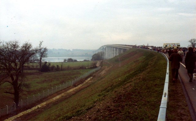
52.02698, 1.17836
Visiting this summer
Seasonal nature notes and what to look for now
Visiting this summer
Seasonal nature notes and what to look for now
- 🐦77+ species recorded in this area — summer evenings are best for activity; watch for Carrion Crow and Woodpigeon
- 🐕Early mornings are best for dog walks in summer — visit before 9am to avoid the heat and find quieter trails
- 🅿️Parking 416m away — 4 car parks within reach
🌤️ Visiting this summer
- 🐦77+ species recorded in this area — summer evenings are best for activity; watch for Carrion Crow and Woodpigeon
- 🐕Early mornings are best for dog walks in summer — visit before 9am to avoid the heat and find quieter trails
- 🅿️Parking 416m away — 4 car parks within reach
Good to know
- £Free to visit — no entry charge
- 🐕Dogs welcome
- 🌿Ancient woodland — rare wildlife habitat
Best for
Bird watching
Very strong match
Birds — Carrion Crow, Woodpigeon, Oystercatcher +74 more · last seen 2026; Birds — Carrion Crow, Woodpigeon, Oystercatcher +74 more · last seen 2026
Wildlife
Very strong match
Multi-group wildlife — Birds, Mammals; Multi-group wildlife — Birds, Mammals
Insect spotting
Strong match
Insects — Acorn Weevil, Grypotes puncticollis, Glow-worm +137 more · last seen 2025; Insects — Acorn Weevil, Grypotes puncticollis, Glow-worm +137 more · last seen 2025
Seasonal nature
Strong match
Plants — Broom, Pyramidal Orchid, Beet +31 more · last seen 2026; Plants — Broom, Pyramidal Orchid, Beet +31 more · last seen 2026
Dog walks
Strong match
Dogs allowed — public woodland
Cycling
Strong match
Cycling trails listed; Named cycling route nearby: NCN 51
Trails nearby
Within roughly 5 km🚶Walking
9 signed routes nearby · 8 public paths nearby
Signed route nearbyPublic paths
Walking
Alton Water Red RouteWalking route
King Charles III England Coast Path: East: Shotley Gate to Felixstowe FerryWalking route
Pin Mill Nature Walk, Pin MillWalking route3.2 km
Circular walk, mostly easy walking on grassy and sandy paths. Steps along the route and one steep slope to descend between points 4 and 5. Be aware of high tides along the foreshore at point 6, where an alternate path is recommended when the route is impa
Sandlings WalkWalking route89 km
Southwold to Rushmere Heath on the outskirts of Ipswich
Stour & Orwell WalkWalking route
Gainsborough Lanepublic footpath · 126 m
Gainsborough Lanepublic footpath · 50 m
Gainsborough Lanepublic footpath · 48 m
🚴Cycling
185 signed routes nearby
Signed route nearby
Cycling
NCN 51Cycling route
Route 2Cycling route
2ACycling route
Route 10BCycling route
South Suffolk Route BCycling route
Alton Water LoopCycling route
Wildlife to spot
Photos
Weather for this location
Loading local forecast…
Nearby places
Useful places within 5 km
Own or manage this place?
Claim this listing to keep details accurate, add photos, and highlight what makes it special — free.
Claim this pageHow was your visit?
How useful was the information on this page?
id: 9017f31f-b959-4585-ab5c-88b6d3bb88c7