Getting here
50.43922, -3.84764
Visiting this summer
Seasonal nature notes and what to look for now
Visiting this summer
Seasonal nature notes and what to look for now
- 🌞Midsummer — early morning visits most comfortable; look for deer fawns in quieter clearings
- 🐕Early mornings are best for dog walks in summer — visit before 9am to avoid the heat and find quieter trails
- 📍Open access throughout summer — no booking required
🌤️ Visiting this summer
- 🌞Midsummer — early morning visits most comfortable; look for deer fawns in quieter clearings
- 🐕Early mornings are best for dog walks in summer — visit before 9am to avoid the heat and find quieter trails
- 📍Open access throughout summer — no booking required
Good to know
- £Free to visit — no entry charge
- 🐕Dogs welcome
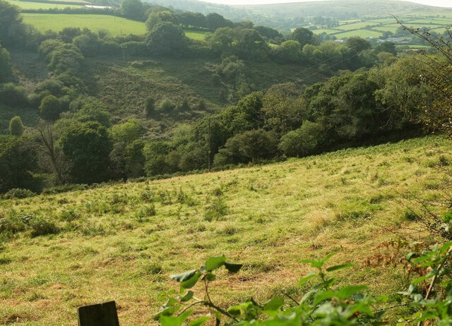
- 🌿Ancient woodland — rare wildlife habitat
Best for
Wildlife
Very strong match
Multi-group wildlife — Amphibians, Birds, Mammals, Reptiles; Multi-group wildlife — Amphibians, Birds, Mammals, Reptiles
Bird watching
Very strong match
Birds — Blackbird, Robin, Carrion Crow +65 more · last seen 2025; Birds — Blackbird, Robin, Carrion Crow +65 more · last seen 2025
Insect spotting
Strong match
Lowland meadows — marbled white, meadow brown and pollinating insects; Insects — Dock Bug, Dark Bush-cricket, Spotted Regal-sawfly +17 more · last seen 2025
Seasonal nature
Strong match
Ancient woodland — bluebells, fungi and autumn colour
Dog walks
Strong match
Dogs allowed — public woodland
Foraging
Good match
Deciduous woodland — fungi, berries and wild garlic
Trails nearby
Within roughly 5 km🚶Walking
3 signed routes nearby · 8 public paths nearby
Signed route nearbyPublic paths
Walking
Two Moors WayWalking route
Dartmoor WayWalking route
Abbot's WayWalking route
🚴Cycling
30 signed routes nearby
Signed route nearby
Cycling
Route 2Cycling route
National Cycle Route 2 Dawlish to Plymouth
Route 272Cycling route
NCN272Cycling route
Forder LaneCycling route
Dartmoor Way (Cycle)Cycling route
Main RouteCycling route329 m
🐴Horse riding
7 public paths nearby
Public paths
Horse riding
Diamond Lanebridleway · 1.4 km
Wildlife to spot
Photos
Weather for this location
Loading local forecast…
Nearby places
Useful places within 5 km
Own or manage this place?
Claim this listing to keep details accurate, add photos, and highlight what makes it special — free.
Claim this pageHow was your visit?
How useful was the information on this page?
id: 27a1042f-3490-42b8-a621-075bdff4d806