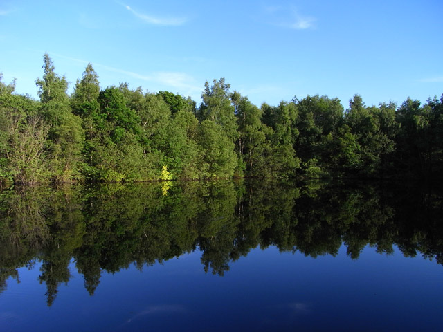
Paices Wood Country Parkland
Plan your visit
Getting here
51.37046, -1.16561
Visiting this summer
Seasonal nature notes and what to look for now
Visiting this summer
Seasonal nature notes and what to look for now
- 🌞Midsummer — early morning visits most comfortable; look for deer fawns in quieter clearings
- 🐕Early mornings are best for dog walks in summer — visit before 9am to avoid the heat and find quieter trails
- 🅿️Parking nearby — easy to reach by car
🌤️ Visiting this summer
- 🌞Midsummer — early morning visits most comfortable; look for deer fawns in quieter clearings
- 🐕Early mornings are best for dog walks in summer — visit before 9am to avoid the heat and find quieter trails
- 🅿️Parking nearby — easy to reach by car
Good to know
- £Free to visit — no entry charge
- 🐕Dogs welcome
Best for
Wildlife
Very strong match
Multi-group wildlife — Birds, Mammals; Multi-group wildlife — Birds, Mammals
Bird watching
Very strong match
Birds — Blue Tit, Cormorant, Pied Wagtail +51 more · last seen 2026; Birds — Blue Tit, Cormorant, Pied Wagtail +51 more · last seen 2026
Dog walks
Strong match
Dogs allowed with public access
Insect spotting
Good match
Insects — Mottled Umber, Winter Moth, Sylvicola +10 more · last seen 2026; Insects — Mottled Umber, Winter Moth, Sylvicola +10 more · last seen 2026
Foraging
Good match
Deciduous woodland — fungi, berries and wild garlic
Family friendly
Good match
Urban park — family destination
Trails nearby
Within roughly 5 km🚶Walking
6 signed routes nearby · 17 public paths nearby
Signed route nearbyPublic paths
Walking
red trailWalking route
The Roman WayWalking route274.5 km
Wasing WayWalking route
The Brenda Parker WayWalking route
Kennet and Avon Canal TrailWalking route140 km
Rivers linked by a canal. The name refers to the entire navigable length. From Bristol the way is the Avon. The canal is from Bath to Newbury. From there to Reading the way is the Kennet. 53 locks to Summit Pound (150 m asl) and 54 down to Reading.
Fisherman's Lanepublic footpath · 79 m
Fisherman's Lanepublic footpath · 10 m
West Berkshire ALDE/9/1 (Part)public footpath · 2 km
🚴Cycling
26 signed routes nearby
Signed route nearby
Cycling
Route 4Cycling route
Round Berkshire Cycle RouteCycling route
Calleva TrailCycling route
EuroVelo 2 - Capitals Route - part United Kingdom 4Cycling route
Route 422Cycling route
Wasing WayCycling route
🚵Mountain biking
1 signed route nearby
Signed route nearby
Mountain biking
Pamber Forest BridlewayMountain bike route
🐴Horse riding
7 public paths nearby
Public paths
Horse riding
No named routes yet. Public paths are shown on the map.
Wildlife to spot
Photos
Weather for this location
Loading local forecast…
Nearby places
Useful places within 5 km
Own or manage this place?
Claim this listing to keep details accurate, add photos, and highlight what makes it special — free.
Claim this pageHow was your visit?
How useful was the information on this page?
id: da255f51-9339-4666-92d3-806da5641aa0