Birds — Bullfinch, Blue Tit, Robin +63 more · last seen 2026; Birds — Bullfinch, Blue Tit, Robin +63 more · last seen 2026
Free
🍂
Seasonal nature
Strong match
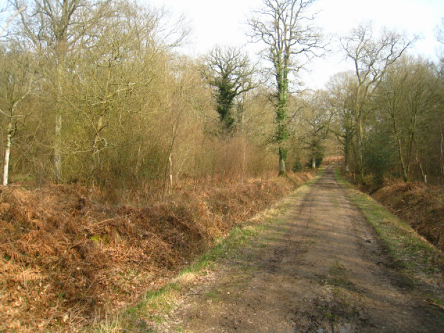
Ancient woodland — bluebells, fungi and autumn colour
Free
🦋
Insect spotting
Strong match
Priority ponds — dragonflies, damselflies and aquatic invertebrates; Insects — Hornet, Southern Hawker, Dor Beetle +57 more · last seen 2026
Free
🐶
Dog walks
Strong match
Dogs allowed — public woodland
Free
〰
Waterside walks
Good match
Grazing marsh and ditches — waterside walking
Varies
Trails nearby
Within roughly 5 km
🚶
Walking
▾
12 signed routes nearby · 49 public paths nearby
Signed route nearbyPublic paths
red trailWalking route▾
Named routeLocal walking route
Silchester TrailWalking route▾
Named route
The Roman WayWalking route274.5 km▾
Named routeLength 274.5 kmRegional walking route
Wetlands WalkWalking route▾
Temporarily closed (frequent flooding, repairs due in Spring 2026)
Named route
Morgaston Woods Yellow Route, The VyneWalking route1.6 km▾
This 1-mile walk will take you deeper into Morgaston Woods than the shorter, green route, while still forming a neat loop for you to go on and see other things afterwards. Dogs are welcome.
Named routeLength 1.6 kmDuration 00:30-00:45Round tripLocal walking route
West Streetpublic footpath · 60 m▾
Public pathpublic footpathLength 60 mSurface asphaltPath type: residential
West Streetpublic footpath · 113 m▾
Public pathpublic footpathLength 113 mSurface asphaltPath type: residential
Sandy Lanepublic footpath · 86 m▾
Public pathpublic footpathLength 86 mSurface unpavedPath type: track
🚴
Cycling
▾
15 signed routes nearby
Signed route nearby
Round Berkshire Cycle RouteCycling route▾
Named routeRegional cycle route
National Cycle Route 23Cycling route▾
Named routeRef 23National Cycle Network
Calleva TrailCycling route▾
Named routeRef Calleva TrailRegional cycle route
Chineham to Town Centre Accessibility ImprovementsCycling route▾
Named routeLocal cycle route
Wasing WayCycling route▾
Named routeLocal cycle route
AWECycling route▾
Named routeLocal cycle route
🚵
Mountain biking
▾
1 signed route nearby
Signed route nearby
Pamber Forest BridlewayMountain bike route▾
Named routeRef Blue Trail
🐴
Horse riding
▾
7 public paths nearby
Public paths
String Lanebridleway · 47 m▾
Public pathbridlewayLength 47 mSurface dirtPath type: bridleway
String Lanebridleway · 537 m▾
Public pathbridlewayLength 537 mSurface dirtPath type: bridleway
String Lanebridleway · 36 m▾
Public pathbridlewayLength 36 mPath type: bridleway
String Lanebridleway · 46 m▾
Public pathbridlewayLength 46 mSurface dirtPath type: bridleway
String Lanebridleway · 44 m▾
Public pathbridlewayLength 44 mSurface unpavedPath type: bridleway