Plan your visit
Getting here
53.51050, -1.34776
Visiting this summer
Seasonal nature notes and what to look for now
Visiting this summer
Seasonal nature notes and what to look for now
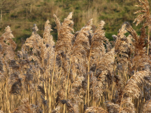
- 🐦73+ species recorded in this area — summer evenings are best for activity; watch for Gadwall and Teal
- 🐕Early mornings are best for dog walks in summer — visit before 9am to avoid the heat and find quieter trails
- 🅿️Parking on site
🌤️ Visiting this summer
- 🐦73+ species recorded in this area — summer evenings are best for activity; watch for Gadwall and Teal
- 🐕Early mornings are best for dog walks in summer — visit before 9am to avoid the heat and find quieter trails
- 🅿️Parking on site
Good to know
- £Free to visit — no entry charge
- 🐕Dogs welcome
Best for
Bird watching
Very strong match
Birds — Gadwall, Teal, Robin +70 more · last seen 2026; Deciduous woodland — woodpeckers, warblers and woodland birds
Wildlife
Strong match
Birds — Gadwall, Teal, Robin +70 more · last seen 2026; Deciduous woodland priority habitat
Dog walks
Strong match
Dogs allowed with public access
Cycling
Good match
Named cycling route nearby: Trans Pennine Trail
Foraging
Good match
Deciduous woodland — fungi, berries and wild garlic
Hiking
Good match
Named hiking route nearby: Trans-Pennine Trail (Wombwell to Selby); Named hiking route nearby: Trans-Pennine Trail (Wombwell to Selby)
Trails nearby
Within roughly 5 km🚶Walking
5 signed routes nearby · 13 public paths nearby
Signed route nearbyPublic paths
Walking
Trans-Pennine Trail (Silkstone Common to Wombwell)Walking route
Barnsley Boundary WalkWalking route
Trans-Pennine Trail (Wombwell to Leeds)Walking route
Trans-Pennine Trail (Wombwell to Leeds spur)
Trans-Pennine Trail (Wombwell to Selby)Walking route
The Heron WayWalking route
🚴Cycling
46 signed routes nearby
Signed route nearby
Cycling
Route 67Cycling route
Trans Pennine TrailCycling route
Route 62Cycling route
Rotherham Local Cycle NetworkCycling route
Main RouteCycling route414 m
Main RouteCycling route27 m
🐴Horse riding
8 public paths nearby
Public paths
Horse riding
No named routes yet. Public paths are shown on the map.
Wildlife to spot
Photos
Weather for this location
Loading local forecast…
Nearby places
Useful places within 5 km